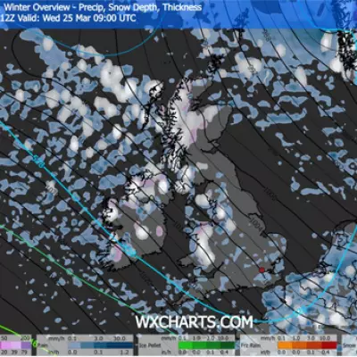
The Met Office has activated a series of yellow weather alerts for the United Kingdom, forecasting a potent mix of disruptive conditions including heavy rain, strong winds, and snow over the coming days.
Timeline of Disruptive Weather
A 12-hour warning for strong winds and heavy rain comes into force at 4 am on Tuesday, primarily targeting southwest Britain and Wales. Forecasters warn that exposed coastal areas could experience gusts reaching up to 65mph, with widespread rain adding to the hazardous conditions.
From midday on Wednesday, a more prolonged 48-hour warning for persistent heavy rain will cover large parts of Scotland. The affected regions include Central Scotland, Tayside and Fife, Grampian, and the Highlands and Eilean Siar.
Expected Rainfall and Snowfall Totals
Substantial rainfall accumulations are predicted, particularly in northern areas. The Met Office anticipates widespread totals of 30 to 60mm, with 80 to 120mm possible over high ground. This significant deluge is especially concerning given that the ground is already saturated from previous rainfall.
As colder air moves in later in the week, the persistent rain is expected to turn to snow on higher elevations by Thursday and Friday, adding a further layer of complexity to the forecast and potential travel disruption.
Potential Impacts and Public Advice
The combination of factors presents multiple risks. The Met Office highlights a small chance of flooding affecting homes and businesses. Additional potential impacts include:
- Power cuts and interruptions to other services.
- Difficult driving conditions and road closures due to spray, standing water, or snow.
- Possible delays or cancellations to public transport services.
Residents in the warning areas are advised to stay updated on the latest forecasts and travel information, and to take precautions to protect property from potential floodwater.


