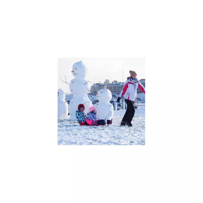
The Met Office has issued a series of urgent weather warnings for snow and ice across the United Kingdom, as a severe Arctic blast sweeps in. Residents in 121 specific areas are being urged to prepare for hazardous conditions and potential travel disruption over the coming days.
Widespread Warnings and Disruption Forecast
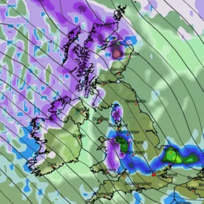
An amber snow warning is in force for much of Scotland, including Aberdeen, Aviemore, and Ullapool, until 10am on Monday, 5th January 2026. The Met Office warns of heavy snow leading to significant travel problems, with the potential for some rural communities to become cut off. Up to 20cm to 30cm of additional snow could fall in places within the amber zone.
Separate yellow warnings for snow and ice cover extensive parts of Wales, England, and Northern Ireland. One for Scotland north of Glasgow expires at midnight on Monday, while others along the east coast and across England and Wales are valid until 11am on Tuesday. Further warnings are active for south-west England and Wales until midday Tuesday.
Essential Kit for Motorists
With temperatures struggling to rise above freezing as many return to work and school, the Met Office has issued specific advice for drivers. Those needing to travel in the affected regions should pack nine key items in their vehicle to ensure safety in case of delays or breakdowns.
The essential checklist includes:
- Warm clothing and a blanket
- Food and water
- A torch
- Ice scraper and de-icer
- A warning triangle and high-visibility vest
- An in-car phone charger
Motorists are advised to plan routes carefully, check for closures, and allow extra time for journeys.
Travel Chaos and Further Outlook
The impending wintry weather is already causing disruption. ScotRail has warned of significant delays on routes around Aberdeen and Inverness for much of Monday. The Met Office also states that flights could be cancelled and mobile phone coverage may be affected in the worst-hit areas.
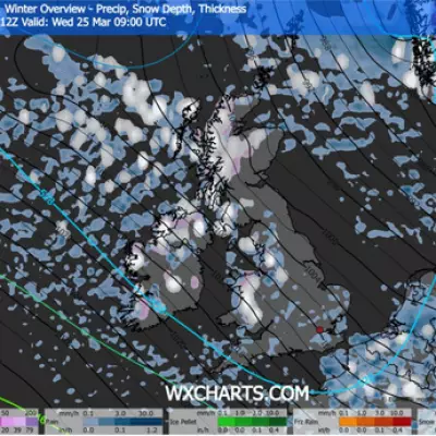
Met Office chief meteorologist Matthew Lehnert said: "Elsewhere in the UK, snow showers, ice and frost are expected at times but milder air will make attempts to spread eastward from Tuesday. This will mean rain becomes more likely in the south, but there is also the possibility of more organised snow along the boundary of the mild and cold airmasses."
The public is warned to expect possible injuries from slips and falls on icy surfaces, and to take extra care during this period of intense winter weather.


