
The United Kingdom is experiencing a period of relative calm after a week of disruptive wintry weather, with forecasters indicating that significant snowfall is unlikely over the coming weekend.
From Arctic Blast to Seasonal Norms
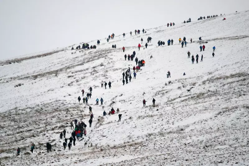
The start of 2026 brought a severe cold spell to the nation. An Arctic blast delivered heavy snow to Scotland, while the impactful Storm Goretti – labelled a "multi-hazard event" – caused power outages and widespread disruption with wind, ice, snow, and rain. The situation was so severe that officials in the West Midlands warned of the "worst snowfall in a decade", with parts of England and Wales seeing accumulations of 15 to 25cm.
This led to thousands of children in northern Scotland missing school, as the Met Office issued yellow warnings for snow and ice. However, the extreme conditions have now passed.

What to Expect This Weekend
According to the latest Met Office predictions, the weather is set to remain unsettled but much milder. Temperatures will be near the seasonal average, with northern England and Scotland seeing lows of around 4°C. London and the South East can expect milder highs of up to 9°C.
The dominant theme will be showery conditions, mixed with patches of fog and some overnight frost in northern regions. Any wintry precipitation will be confined strictly to the higher hills of Scotland, which is typical for mid-January.
Liam Eslick, a senior operational meteorologist at the Met Office, confirmed the shift: "In the immediate future colder weather isn’t expected to return for the UK. Temperatures for most of next week should remain near average." He added that while easterly winds could bring a chill in the final week of January, it is equally probable that milder air from the south will persist.
The Meteorological Drivers
The change is due to specific atmospheric patterns. Although the Atlantic jet stream is active, it weakens as it approaches the UK, leading to slow-moving weather systems. Furthermore, a block of high pressure over northern Europe is acting as a barrier, preventing colder air from sweeping towards Britain.
Meteorologist Alex Deakin supported this outlook, noting that while next week's temperatures could be a "touch below average", the intense cold is not set for a swift return.
Met Office Five-Day Weather Forecast
Friday evening and overnight: Often cloudy with showers, most frequent in the West. A mixture of low cloud and fog patches will affect central and eastern areas, potentially becoming extensive in eastern England. There is a risk of frost in the North.
Saturday: Early fog patches will lift slowly. The day will then see sunny spells and showers, heaviest and most frequent in the West during the morning before fading. Temperatures will be near normal.
Outlook for Sunday to Tuesday: A changeable few days are expected. Conditions will often be cloudy with some brighter spells and showery rain. Overnight frost and fog patches are likely, with the fog potentially freezing and slow to clear in places.


