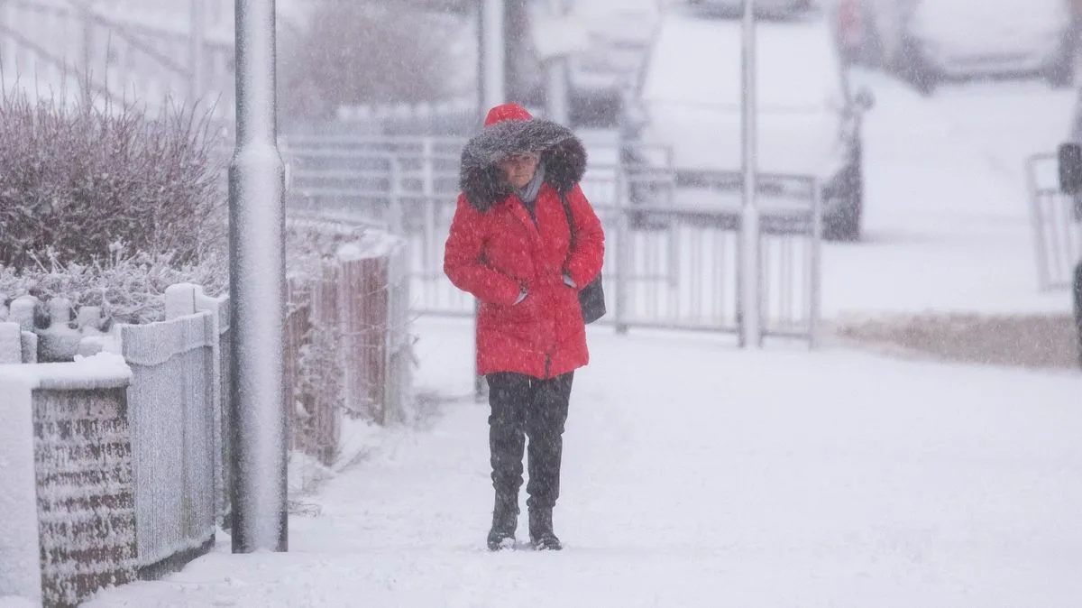
UK Braces for Wintry Blast as Met Office Forecasts Snow and Sub-Zero Temperatures
Met Office Confirms Snow Forecast for UK Amid Temperature Plunge

Met Office Issues Snow Forecast as UK Faces Sharp Temperature Drop

The Met Office has officially confirmed that wintry weather, including significant snowfall, is forecast for multiple regions across the United Kingdom in the coming days. This announcement comes as meteorologists warn of a dramatic temperature reversal, with recent mild conditions giving way to potentially hazardous cold.

A Meteorological 'Battleground' Unfolds

Forecasters have described the developing weather pattern as a tense "battleground." This scenario involves Atlantic storm systems pushing in aggressively from the west, which are set to clash with stubborn high-pressure areas entrenched over the north and northeast of the country. It is this atmospheric conflict that is expected to generate the conditions conducive to snowfall.

The Met Office indicates that the heaviest snow accumulations are likely across northern England and Scotland. For the period from Monday, January 26th, to Wednesday, February 4th, their forecast states: "These may be heavy and persistent, especially in the south and west, with the best of any drier interludes in the far north and northeast. Whilst mild conditions are expected to encroach into the south and southwest at times, it is likely to turn somewhat colder through this period, bringing the risk of some snow, most likely across hills in Scotland and northern England, but perhaps extending to other areas with time."

From Balmy to Bitter: A Rapid Temperature Shift

The forecast marks a stark contrast to recent conditions. Just this week, temperatures peaked at a relatively mild 12.5°C in Gogerddan, west Wales, with Bude in Cornwall and Morecambe in Lancashire also recording highs above 10°C. However, this brief respite is now over.

According to forecasters at Metdesk, it will feel as cold as -8°C in parts of the UK next week. The coldest conditions are anticipated across Scotland on Wednesday and Thursday, creating optimum temperatures for widespread snowfall. Thursday is currently pinpointed as the day most likely to see extensive snow, with flurries potentially reaching as far south as parts of the Midlands.

Nick Finnis, a meteorologist with Netweather, elaborated on the complex setup: "A battleground looks to play out in the days ahead across the UK between a large high pressure system extending west from Siberia and a queue of lows coming in from the west, thanks to an increasingly powerful jet stream... This may allow cold air to flood west over the North Sea from Scandinavia, initially the coldest of this air flooding across the north and northeast on Sunday, but perhaps cold air flooding across all areas on Monday, perhaps cold enough for snow too."

Immediate Wet Weather and Severe Warnings

Before the snow arrives, much of the country is contending with significant rainfall. An amber weather warning is currently in place for Grampian, and Central, Tayside and Fife until 6pm today, where up to 150mm (six inches) of rain could fall.

The Met Office has warned that this level of rainfall is likely to cause flooding of homes and businesses, potentially resulting in damage to buildings. There is also a danger to life from fast-flowing or deep floodwater. Travel disruption is expected, with delays and likely cancellations to train and bus services. Heavy rain is also forecast for other regions including Cumbria, North Yorkshire, and West Yorkshire, with the possibility of thundery conditions developing in north Wales this afternoon.

This pattern of Atlantic frontal systems attempting to push eastwards is expected to continue, with forecasters noting the potential for further snow events into early February as well.