
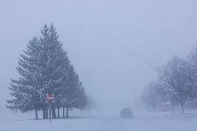
When significant winter weather systems sweep across the country, they can unleash a variety of hazardous conditions that manifest differently depending on location. The precipitation might arrive as gentle snowflakes, stinging ice pellets, or treacherous freezing rain, each presenting unique challenges and dangers.
The Atmospheric Conditions Behind Winter Precipitation
For snow to reach the ground in its classic fluffy form, it requires consistently cold air throughout its entire journey from cloud formation to earth. When temperatures remain below freezing at every atmospheric level, snowflakes maintain their crystalline structure without melting.
"The further north you travel, the deeper that Arctic air layer becomes, creating conditions more favourable for sustained snowfall," explained MIT research scientist Judah Cohen.

The Temperature Sandwich Effect
In more southerly regions, the atmosphere often develops what meteorologists call a "temperature sandwich" - layers of warm air trapped between colder air above and below. This configuration creates the conditions for sleet and freezing rain to develop.
"Snowflakes form aloft, then descend into a warmer layer where they melt," Cohen detailed. "If they then encounter another cold layer near the surface, they refreeze before reaching the ground."
Distinguishing Between Precipitation Types
Sleet occurs when the lowest atmospheric layer is sufficiently cold to cause raindrops to freeze into solid ice pellets before impact. These bounce upon hitting surfaces and accumulate differently than snow.
Freezing rain develops when that surface cold layer is too shallow for complete freezing during descent. The precipitation remains liquid until contact with frozen ground or objects, where it instantly forms a dangerous glaze of ice.
The Rarer Winter Precipitation: Graupel
Less commonly encountered is graupel, sometimes called soft hail or snow pellets. This precipitation occupies a middle ground between snow and sleet in both texture and formation.
"It's snow that has partially melted during descent but hasn't completed the transformation," said David Robinson, New Jersey State Climatologist at Rutgers University. "The crystals lose their distinctive six-point shape, becoming more rounded like cotton balls, without fully melting enough to refreeze as sleet."
Robinson noted that people sometimes mistakenly refer to sleet as hail, though true hail rarely occurs during winter storms. Hail typically forms in summer thunderstorms when strong updrafts repeatedly carry raindrops upward into freezing altitudes, creating layered ice spheres.
Varying Hazards of Winter Precipitation
Each type of winter precipitation brings distinct dangers. Snow, while potentially creating whiteout conditions and causing vehicles to skid, can at least be ploughed and managed with relative predictability.
Sleet presents greater mobility challenges as its ice pellets compact into difficult-to-remove surfaces. However, Cohen identifies freezing rain as the most devastating winter moisture.
"Freezing rain transforms roads into virtual skating rinks and can accumulate with such weight that it brings down power lines and tree limbs," he warned.
The Danger of Extreme Cold
Beyond precipitation, winter storms often bring dangerously low temperatures. The National Weather Service issues specific alerts when conditions become hazardous:
- Cold Weather Advisory: Indicates dangerous conditions are likely
- Extreme Cold Watch: Signals life-threatening weather is possible
- Extreme Cold Warning: Means life-threatening conditions are likely
Understanding these winter weather phenomena helps communities better prepare for the diverse challenges presented by major storm systems. The complex interplay of atmospheric temperatures creates precipitation variations that require different responses and safety measures across affected regions.


