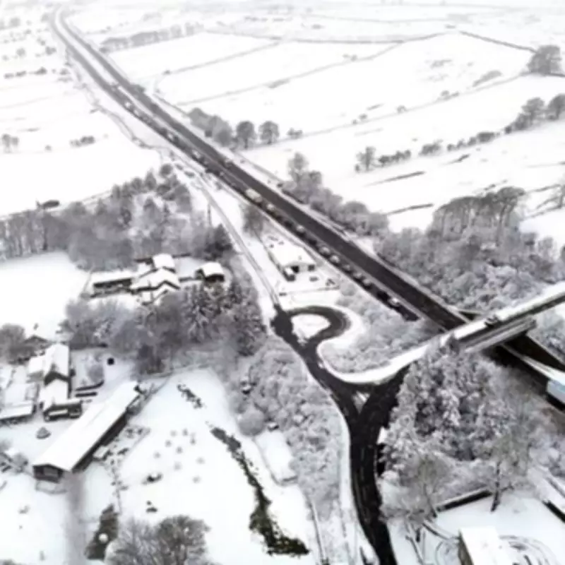
Arctic Maritime Air Mass to Freeze UK with Days of Snow and Ice
The Met Office has issued a stark warning as an Arctic Maritime air mass is set to plunge the United Kingdom into a prolonged period of freezing weather, bringing significant snowfall and icy conditions across the nation. This meteorological phenomenon is expected to cause travel disruptions and hazardous conditions, with yellow weather warnings in place for large swathes of the country over the weekend.
What is an Arctic Maritime Air Mass?
According to the Met Office, an Arctic Maritime air mass occurs when cold, moist air from the Arctic region moves southwards, typically resulting in snow during the winter months. This specific front is forecasted to approach from the west on Sunday, impacting northern areas most severely. Forecasters explain that this air mass will lead to outbreaks of rain turning to snow, initially affecting low levels before becoming confined to higher ground as milder air arrives from the west.
Weather Warnings and Expected Impacts
Snow Accumulations: Temporary snow accumulations of 1 to 3 centimetres are possible at low levels, with 3 to 7 centimetres expected above approximately 150 metres elevation, and potentially 10 to 15 centimetres above 400 metres. Ice Hazards: Ice will pose an additional risk, particularly in northeast England and parts of Scotland, where precipitation may fall on frozen ground, creating very slippery conditions.
Affected Regions:
- A major yellow warning for snow and ice covers Scotland and most of northern England on Saturday, impacting cities such as Glasgow, Manchester, and Newcastle.
- A separate yellow warning is in place for the east of Northern Ireland, including County Fermanagh, County Londonderry, and County Tyrone.
- These warnings extend into Sunday, with the alert remaining active over Scotland and northern England until 10 am.
Travel Disruptions and Safety Advice
Drivers have been urged to prepare for possible travel disruptions over the next two days. The Met Office advises motorists to carry emergency kits and stay updated on weather forecasts. Chief forecaster Rebekah Hicks highlighted that additional warnings could be issued this weekend, emphasising the importance of monitoring the latest updates.
"Snow is likely ahead of the rain across northern England and Scotland and could reach lower levels at times Saturday night into Sunday," Hicks stated. The weather is expected to gradually improve as snow turns to rain on Sunday morning, possibly with a brief spell of freezing rain, followed by a steady thaw of lying snow.
This prolonged cold spell underscores the significant impact of Arctic Maritime air masses on UK weather patterns, bringing a mix of snow, ice, and freezing temperatures that will test the resilience of infrastructure and public preparedness across affected regions.


