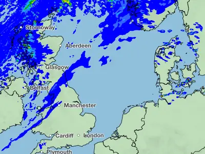
New weather modelling maps indicate that a snowstorm could bring significant disruption to the UK next week, with some areas seeing up to 22 inches (55cm) of snowfall. The ECMWF model suggests the wintry weather will begin early on January 27, initially affecting Wales before spreading across the country.
According to the maps, Cardiff and Swansea are among the first cities in the firing line, with heavy flurries expected from the early hours. By around 3am, the snow is forecast to drift northward and eastward, bringing accumulations to Belfast, Manchester, Liverpool, Birmingham and London. Northern Ireland could see the heaviest snow at that time.
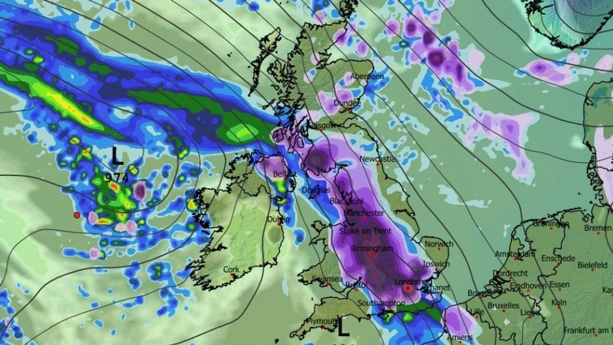
As the morning progresses, snow is predicted to fall at a rate of around one inch per hour over a large swathe of England and southern parts of Scotland. By 6am, heavy snow is expected across much of England and into Scotland, with East Anglia and Kent seeing flurries by 9am. The system is then forecast to cover the entire country, with settled snow from the South Coast to the far north of Scotland.

Snow depth charts reveal the Scottish Highlands could see up to 22 inches (55cm), while northern England and Wales may receive around 2 inches (6cm), and the Midlands up to 3.5 inches (9cm). The Met Office has also indicated the possibility of snow next week, noting that while most snow is likely over hills, other areas could see some as well.
In its long-range forecast for January 27 to February 5, the Met Office stated that weather systems from the Atlantic will stall near the UK due to high pressure to the north and northeast. This could bring spells of rain or showers, turning wintry in the northeast where cold air is positioned. The risk of snow is most likely over hills but may extend to other areas at times.