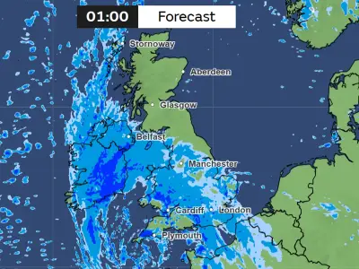
Wales has been hit by two named storms within two days, causing widespread flooding, fallen trees and transport disruption, and a new yellow weather warning for strong winds has now been issued for nine areas of the country.
Storm Austen, the first named storm of the autumn season, arrived on Friday, October 23, bringing heavy downpours and high winds, with gusts of 70mph hitting some areas of Wales. The Met Office issued two yellow weather warnings for wind from 10pm on Thursday, October 22, one of which covered the whole of south Wales and parts of mid Wales for most of Friday.
Storm Boelo brings flooding and travel chaos
After a brief rest, Storm Boelo arrived through Saturday, October 23 into Sunday. A Met Office 12-hour weather warning was in place across most parts of Wales on Sunday for high winds and heavy rain, plus nine flood alerts, with the River Ely in Cardiff breaking its banks.
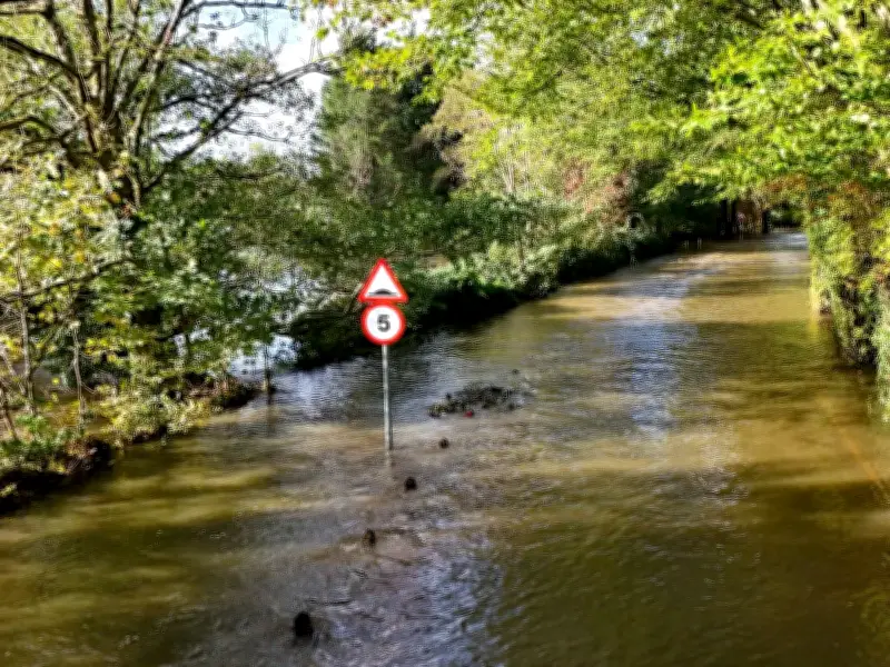
Police were at the scene of two flooding incidents along the River Ely at Ely Bridge on Cowbridge Road West, which was closed, and Michaelston Road to Castle Hill Court in the St Fagans area of the capital. In Pentyrch there were reports of fallen trees, and multiple roads and bridges had restrictions, while some homes in Monmouthshire were without power on Sunday morning.
Ongoing disruption into Monday
Into Monday, October 26, the effects of Storm Boelo were still being felt by many communities across Wales, including flooding, waterlogged roads, fallen trees, road accidents and transport disruption, including some cancelled and suspended train services. Commuters described the conditions as "horrendous" on the M4 and A470.
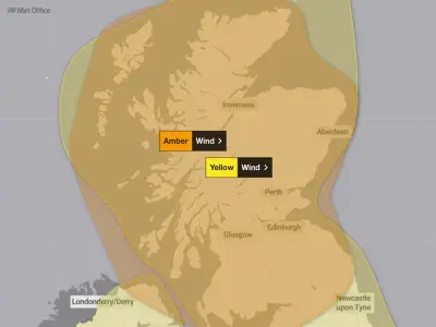
A new Met Office yellow weather warning has now been issued for strong winds for nine areas of Wales, with gusts of up to 65mph expected. The warning will come into force at 6pm on Monday, October 26, and remain in place until 3am on Tuesday, October 27, with exposed coastal areas and higher ground expected to bear the brunt of the strongest winds.
Areas affected and travel advice
The areas which may be affected are Bridgend, Carmarthenshire, Ceredigion, Conwy, Gwynedd, the Isle of Anglesey, Neath Port Talbot, Pembrokeshire and Swansea. The Met Office has warned that the conditions could affect travel across the affected areas, with delays possible on roads, railways, at airports and on ferry services.
Some bus and train journeys may take longer than usual, while high-sided vehicles could face delays on exposed routes and bridges. Coastal communities are also being urged to take extra care, as strong winds could bring spray and large waves to sea fronts and coastal routes. There is a risk that powerful waves could sweep people off their feet and into the sea, even when they are standing on the shore.