
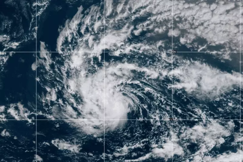
Tropical Storm Erin is rapidly intensifying, with meteorologists warning it could soon develop into the first hurricane of the season. The storm, currently churning over the Atlantic, has prompted concerns among weather experts and coastal communities.
Storm Path and Potential Impacts
Forecasters are closely monitoring Erin's trajectory, which shows signs of moving towards warmer waters – a key factor in hurricane formation. "The conditions are becoming increasingly favourable for further strengthening," stated a senior meteorologist from the National Hurricane Center.
Preparations Underway
Emergency services in potentially affected areas are already preparing for the storm's arrival. Residents are being advised to:

- Review evacuation plans
- Stock up on essential supplies
- Secure property against potential damage
Climate Change Connection
Scientists note that rising sea temperatures, linked to climate change, may be contributing to earlier and more intense storm formations. "What we're seeing aligns with climate models predicting more energetic tropical systems," explained a climate researcher.
Historical Context
If Erin becomes a hurricane, it would mark an earlier-than-average start to the Atlantic hurricane season, which typically peaks between August and October. Last year's season saw several devastating storms that caused billions in damages.
Authorities urge the public to stay informed through official weather channels as the situation develops.


