
Tropical Storm Erin has officially formed in the Atlantic Ocean, raising alarms over a possible landfall in the United States. Meteorologists are keeping a close eye on its trajectory, which could bring heavy rains and strong winds to coastal regions.
What We Know About Storm Erin
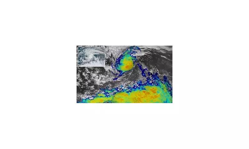
The storm, currently churning in the Atlantic, is expected to gain strength as it moves westward. While its exact path remains uncertain, early models suggest it could impact the eastern seaboard of the US within the next week.
Potential Impacts
- Heavy rainfall: Localised flooding is a significant concern, particularly in low-lying areas.
- Strong winds: Gusts could cause power outages and damage to infrastructure.
- Coastal erosion: High tides and storm surges may threaten beachfront properties.
Preparations Underway
Authorities in potential impact zones are already advising residents to prepare emergency kits and stay informed through official weather updates. Coastal communities are being urged to review evacuation plans.

"While it's too early to predict exact landfall locations, we're taking this storm very seriously," said a spokesperson for the National Hurricane Center.
How This Compares to Previous Storms
Storm Erin arrives during what experts predict could be an above-average hurricane season. While not currently forecast to reach hurricane strength, its rapid development serves as a reminder of how quickly tropical systems can intensify.


