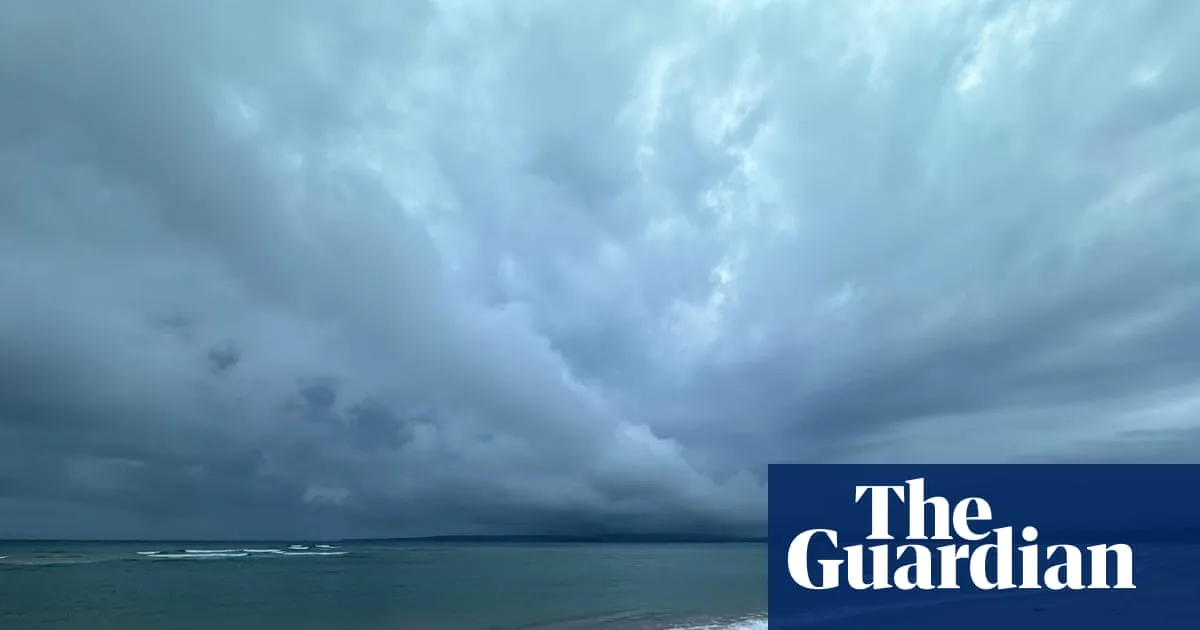
Parts of the New South Wales south coast have received more than 100mm of rainfall, with further heavy falls and storms forecast over the weekend. The Bureau of Meteorology reported some of the highest overnight falls on Friday at Moruya (146mm) and Bodalla (136mm), with the weather system moving northward.
Senior meteorologist Dean Narramore said the Illawarra, Sydney, Central Coast and Hunter regions could expect showers and thunderstorms that could bring 30-50mm of rainfall, with isolated falls of 80-100mm. Heavy storms hit north Parramatta on Saturday morning, dumping 35mm in half an hour.
The NSW State Emergency Service reported 880 requests for assistance, with flash flooding in Mona Vale and Palm Beach. About 750 SES volunteers were responding to the impact of thunderstorms. Acting assistant commissioner Sonya Oyston urged people to monitor warnings and take precautions, noting flood rescues in Albion Park, Picton and Marulan for people trapped in vehicles.
Central Coast councillor Jared Wright said popular beaches including North Avoca, Terrigal and Copacabana had been closed. Coramba, north-west of Coffs Harbour, received 5-7cm hailstones on Friday. Narramore warned that north-east NSW and south-east Queensland could see further severe storms with large hail, damaging winds and heavy rainfall.
Conditions are expected to ease on Monday, with westerly winds and hot weather returning later next week. Meanwhile, the climate crisis continues to increase Australia's vulnerability to extreme weather, with global temperatures averaging 1.48C above preindustrial levels in recent years.