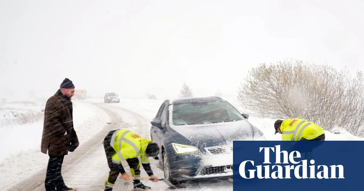
The UK has experienced its first significant winter blast, with blizzards, ice, and freezing temperatures causing widespread disruption. Hundreds of schools closed, roads were blocked or treacherous, and power cuts affected some areas. The Met Office issued eight yellow weather warnings for snow and ice across the country, with a rare amber warning for the North York Moors and Yorkshire Wolds, predicting up to 25cm of snow on hills and occasional blizzards.
In Scotland, Aberdeenshire was the worst-hit region, with more than 90 schools closed. Wales saw 36 closures in Pembrokeshire, 14 in Carmarthenshire, and seven in Ceredigion. In England, about 30 schools in North Yorkshire, eight in East Yorkshire, and several in Northumberland did not open. Major road closures included the A1 northbound between Morpeth and Alnwick, the A171, and the A169 Pickering to Whitby, with police advising only necessary journeys.
The cold snap brought the coldest night of the season so far, with temperatures dropping to -6.6C at RAF Benson in Oxfordshire, -6.4C in Sennybridge, Powys, and -2.8C in County Antrim. The Met Office warned that rural Scotland could see lows of -10C on Thursday night. 'Thundersnow' was reported in Aberdeenshire and off the north-east coast, with a risk of more on Thursday.

Attractions such as the Ryedale Folk Museum in North Yorkshire closed due to snow for the first time in a decade. Researcher Rose Barrett noted that snowy Novembers are rare in the region, with the last significant one in 1925. The UK Health Security Agency's amber cold health alert remains in force across northern England until Saturday morning.
Despite the disruption, some embraced the snow for photography, sledging, and building snowmen. Bookmaker William Hill shortened odds for a White Christmas, with Aberdeen at 6/5, Newcastle at 7/4, and London at 7/1. Temperatures are expected to rise closer to average by the weekend, with wetter and windier conditions arriving.