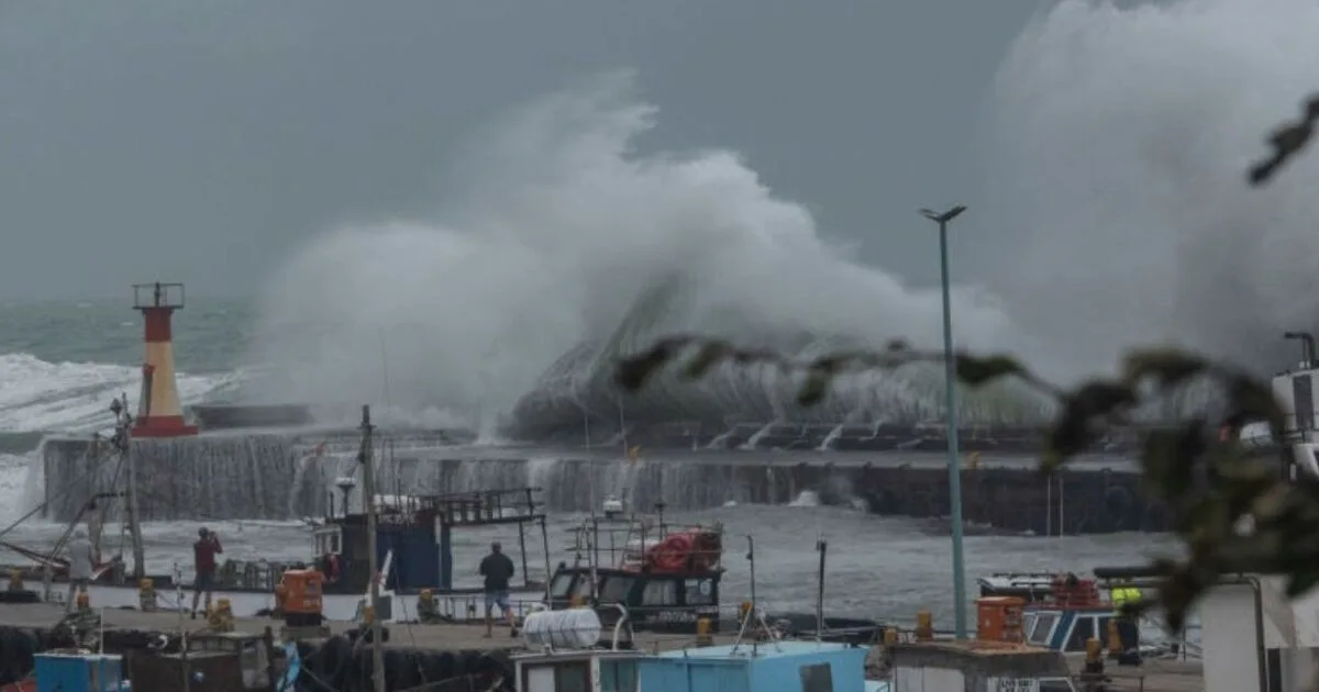
Storm Pierrick, named by the French Met Office, is set to hit the UK just after Storm Kathleen, bringing further flooding and strong winds. The Met Office has issued warnings as the storm is expected to affect many parts of the country, with gusts up to 50mph and heavy rain.
Beach huts were swept into the sea in Falmouth, Cornwall, and parts of West Sussex have been on evacuation alerts. In West Sussex, 180 people were evacuated from Medmerry Holiday Park and about 20 from Bracklesham Caravan and Boat Club after the River Arun burst its banks. One person was taken to hospital with hypothermia.
A spring tide in Southampton reached record levels, with the Environment Agency registering 2.96m above sea level in Woolston, beating the previous record of 2.88m. Three monitoring stations in the city recorded record sea levels just before midnight on Monday.
Met Office meteorologist Alex Burkill said: 'Many of us will be under the influence of relatively deep low pressure currently just towards the south west of the UK. This feature has been named Storm Pierrick by Meteo France as it is in France where we are going to see the greatest impact.' However, Jim Dales of British Weather Services noted: 'The storm has been named by the French authorities for their reasons but I think it’s affecting the UK more than France.'
Rain and strong winds are expected to ease tonight, leaving a largely dry evening for most, but flood alerts remain active across the country. Train lines and roads in affected areas have been flooded, causing disruption for rail passengers and motorists.