
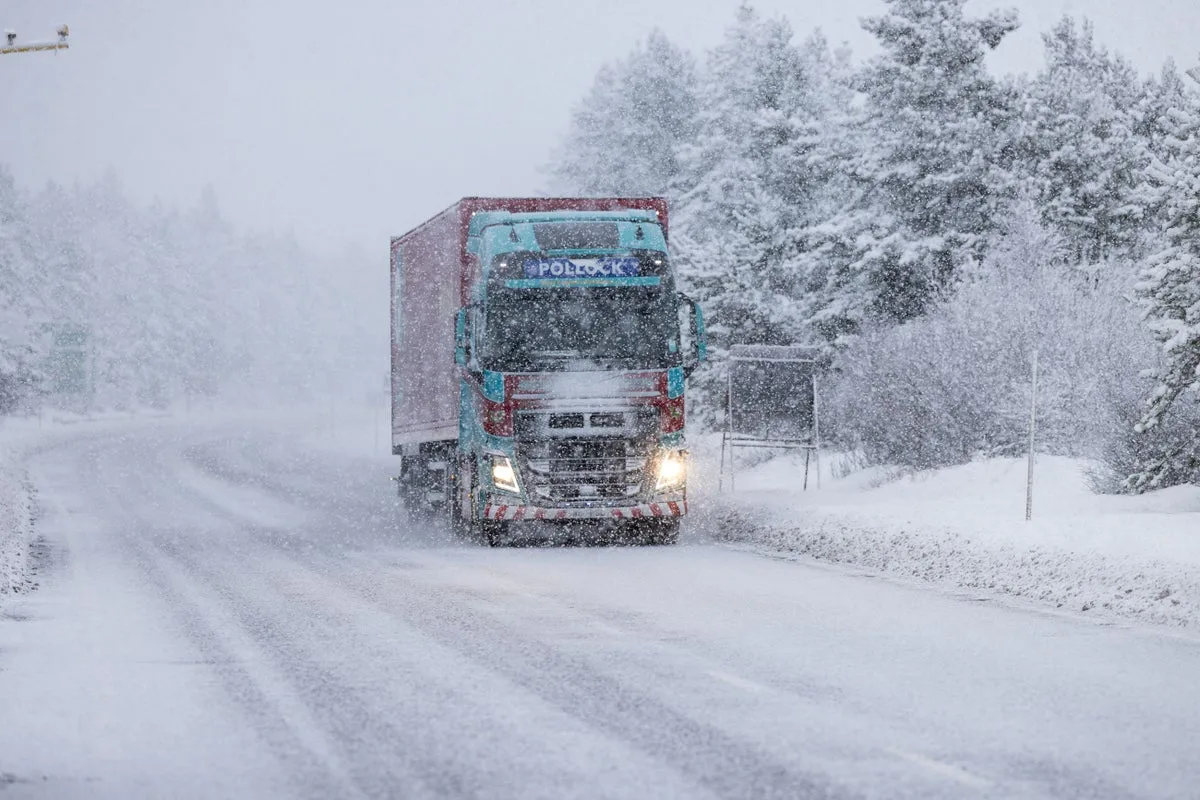
The Met Office has issued weather warnings for snow and gale-force winds across parts of the UK, with temperatures set to drop significantly. After a brief spell of warm weather that saw the hottest day of the year so far last Thursday, the country is bracing for a return to wintry conditions.
Yellow weather warnings for wind are in place on Thursday across Scotland, northern England, the Midlands, Wales, Yorkshire, and Northern Ireland. Gusts of 50-55mph are widely expected, with potential for 60-70mph in coastal areas and near high ground. The warnings come into effect from 5am and will last until 8pm for most regions, with Northern Ireland's warning ending around midday.
A separate snow and ice warning covers Scotland from midnight to 9am on Friday, with 2-5cm of snow expected in Aberdeenshire and the Highlands, and up to 10cm on higher ground. The Met Office warns of travel disruption and slippery surfaces. Temperatures on Friday will drop to 7-9°C, but blustery winds will make it feel like 1-5°C.
Jason Kelly, chief operational meteorologist at the Met Office, said: 'A notable shift in wind direction to a northwesterly flow will bring a markedly colder day nationwide on Friday, with the potential for a mixture of sunny spells, heavy showers, coastal gales, and snow over high ground. There’s also the possibility of accumulations on lower hills.'
Looking ahead, the weekend will see a mix of sunshine and wintry showers, with lighter winds on Saturday. Further rain and hill snow are expected on Sunday, followed by more rain arriving from the west on Monday, with windy conditions returning.




