
Much of the UK is set to experience wintry weather next week, including the rare and dangerous phenomenon of freezing rain, according to forecasters. The Met Office describes freezing rain as a rare type of liquid precipitation that freezes instantly upon hitting a cold surface, creating a layer of clear ice.
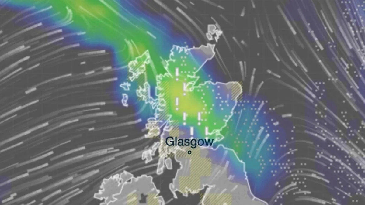
Weather maps from InMeteo indicate that freezing rain will occur across the Scottish Highlands and Perth and Kinross on the evening of Tuesday, February 6, and into the early hours of Wednesday, February 7. Snow is also expected in Argyll and Bute, Scottish Highlands, Perth and Kinross, Northumbria, Tyne and Wear, and County Durham throughout Tuesday.
The Met Office warns that freezing rain can be hazardous, bringing down trees and power lines due to the weight of ice, and turning roads and pathways into ice rinks. It can also pose risks to aircraft. The phenomenon occurred earlier this month in northeast England.

While snow is anticipated in northern parts on Tuesday, rain is likely in other areas. Early indications suggest around 11mm of rain could fall across Cumbria and parts of north Wales. A yellow weather warning for wind is in place for most of Scotland on Wednesday.


