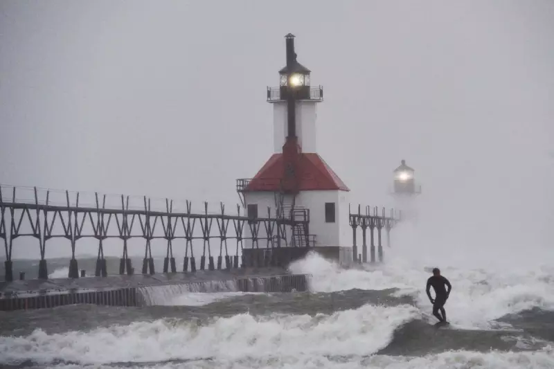
A powerful bout of lake effect snow has descended upon the Great Lakes region, creating treacherous conditions and severely disrupting Thanksgiving travel plans for residents.
Significant Snowfall and Warnings
The snowfall, which began on Wednesday, intensified throughout Thanksgiving Day, driven by winds from the north and northwest. A blizzard warning was activated for Alger County, located east of Marquette, Michigan, remaining in effect until 7 p.m. on Thursday.
According to the National Weather Service, the most intense snowfall was anticipated west of Munising, with the potential for an additional 13 inches (33 centimetres) of accumulation. Meteorologist Lily Chapman from the National Weather Service office in Marquette reported that 15 inches (38 centimetres) of snow had already been measured at her office by Thursday morning.
The snow totals varied dramatically due to the nature of the weather phenomenon. Near Bessemer, Michigan, reports indicated staggering accumulations of 18 to 28 inches (46 to 71 centimetres). Even higher totals were recorded just across the border in Wisconsin, where a location near Montreal received 33 inches (84 centimetres) of snow.
Understanding the Lake Effect Phenomenon
Lake effect snow occurs when cold air, typically originating from Canada, moves across the relatively warmer waters of the Great Lakes. This process forces moisture upward, forming narrow bands of clouds capable of producing intense, localised snowfall.
These bands can dump 2 to 3 inches (5 to 8 centimetres) of snow per hour, and sometimes even more. Roy Eckberg, a meteorologist with the National Weather Service in Green Bay, explained that elevated terrain can enhance this effect. "So you not only have the lake effect, you've got the lift of the terrain," he said. "So that area can get some pretty interesting snow totals like this event."
Travel Chaos and Power Outages
The primary impact of the severe weather has been on travel and infrastructure. The travelling snow bands caused sudden whiteout conditions, making driving extremely hazardous across the Upper Peninsula.
Compounding the travel misery, strong winds of up to 45 mph (72 kph) created large snow drifts across roads and led to power outages. The Upper Peninsula Power Company reported over 1,000 power outages near Houghton, Michigan, on Thursday morning. Similarly, Consumers Energy dealt with outages along the Lake Michigan coast near Holland.
The National Weather Service in Grand Rapids warned of slick roads and high wind gusts. While the lake effect snow is forecast to ease from west to east as Friday approaches, a separate, less severe weather system is predicted to bring a few more inches of snow to the Upper Peninsula over the weekend.
The lake effect snow warning also extended to areas like Buffalo, New York, where about 2 to 3 inches of snow were reported on Thanksgiving morning, with the warning remaining active until early Saturday.


