
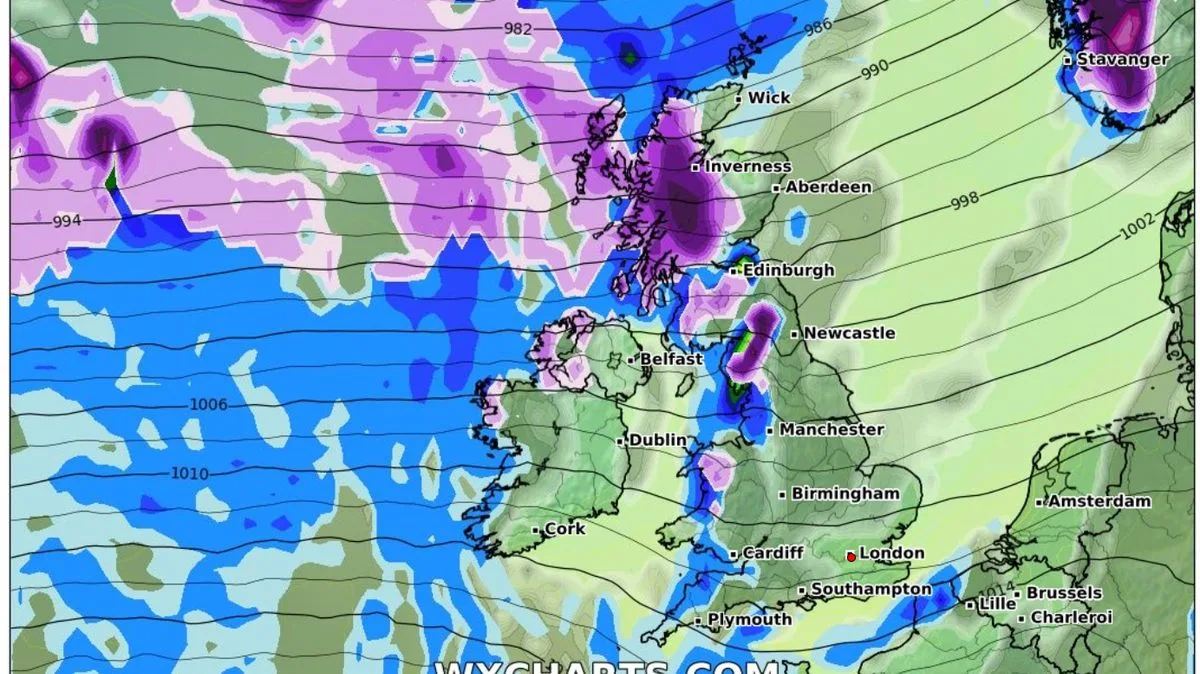
The UK is bracing for a dramatic temperature drop as an Arctic blast is set to bring heavy snow and freezing conditions next week. Forecasters predict a wall of snow stretching 320 miles could blanket parts of the country, with up to eight inches expected in Scotland.
Currently, the UK is experiencing unusually mild weather, with temperatures potentially reaching 18C due to warm air moving north from the Azores. However, this milder spell is expected to end by late next week, as a polar bomb brings a sharp cooldown from around February 21, lasting until March 1.
Weather maps from WXCharts show snow moving in on February 23, with the heaviest falls in Scotland, where eight inches could accumulate. Wales, northern England, and western Scotland are likely to see the first flurries, with significant snowfall just north of Birmingham. By Friday, heavy snow is expected across most of Scotland, northern England, and Wales.
Temperatures are forecast to drop close to freezing by the end of next week, with -6C possible in northern parts on February 25. The Met Office has warned of the potential for snow later in the month, as a very active jet stream could push away the warm Azores air and bring unsettled weather.
Met Office forecaster Alex Burkill noted that while rainy days are the most likely outcome next week, there is a possibility of colder air depending on the jet stream's position. The Met Office's long-range forecast indicates a higher than normal likelihood of northerly or easterly winds dominating in late February and early March, increasing the chance of colder and drier conditions, with snow possible on the boundary between mild and cold air.




