
Hundreds of schools closed and roads blocked as the UK experiences its first significant winter blast, with blizzards, ice, and freezing temperatures. The Met Office issued eight yellow snow and ice warnings for Thursday covering Devon, Cornwall, parts of Kent, the east coast, East Anglia, north-east England, south-west and north-west Wales, Northern Ireland, and northern Scotland.
An amber alert was in place for the North York Moors and Yorkshire Wolds from 3am to 9pm, warning of occasional blizzards and up to 25cm of snow on hills, likely causing substantial disruption. Scotland's worst-hit region was Aberdeenshire, where over 90 schools closed. In Wales, 36 schools shut in Pembrokeshire, 14 in Carmarthenshire, and seven in Ceredigion. About 30 schools in North Yorkshire, eight in East Yorkshire, and a handful in Northumberland also closed.
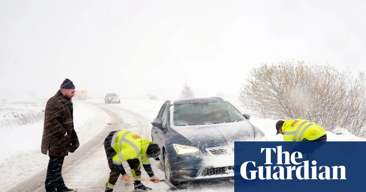
Road closures included the A1 northbound between Morpeth and Alnwick for over two hours, the A171, and the A169 Pickering to Whitby. Drivers in North Yorkshire were advised to make only essential journeys, while Pembrokeshire warned of extremely hazardous conditions. The AA advised slowing down and leaving extra space, as stopping distances can increase tenfold on ice.

The coldest night of the season saw temperatures drop to -6.6C at RAF Benson, Oxfordshire, -6.4C in Sennybridge, Powys, and -2.8C in Co Antrim. Thursday night could see -10C in rural Scotland. 'Thundersnow' was reported in Aberdeenshire and off the north-east coast. An amber cold health alert remains for northern England until Saturday. Temperatures are expected to rise over the weekend, but not to the exceptionally mild levels seen earlier this month.


