
A Cornish village has endured 41 consecutive days of rain, with residents joking about building an ark as the relentless downpours continue. Cardinham, on the edge of Bodmin Moor, has recorded 366mm of rain this year, making it one of the wettest places in the UK. The Met Office confirmed that Cardinham, along with North Wyke in Devon and Astwood Bank in Worcestershire, has experienced over 40 days of rain in a row.
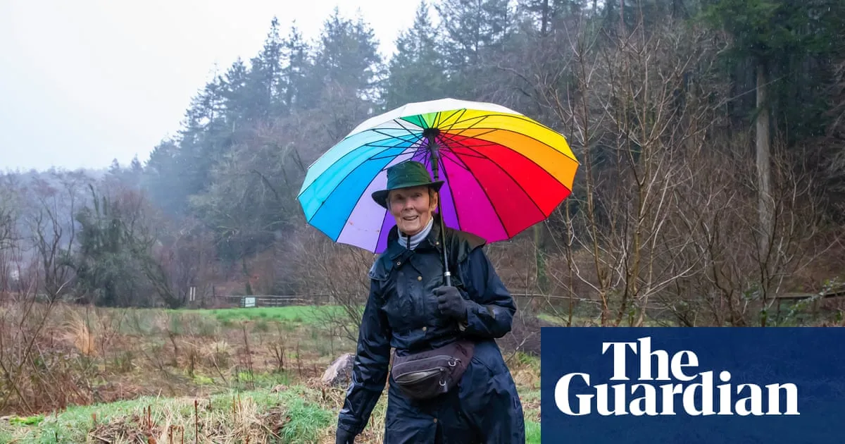
Local artist and cafe owner Sarah Cowen described the situation as 'horrendous', saying she has never known anything like it. 'The mud, the silt, the endless rain,' she said, attributing the weather to global warming. Loveday Sutton of the Cardinham garden club noted that people are becoming despondent, unable to tend to their sodden gardens. One road into the village has been closed due to surface damage from the volume of water.
Farmer Nick Hoskin, who has been farming for 40 years, said this is the worst weather he has experienced. He has been keeping his cows in a barn or farmyard, as the fields are too wet. At Forestry England's Cardinham Woods, recreation manager Sam Lebbern said there is a sense of camaraderie among locals, who are resilient in the face of adversity. Firefighters Adam Harvey and Sandy Gourley, who have been dealing with storm aftermaths, said a dry day would be nice but getting out in the rain helps mental health.

The Met Office weather station at Bodmin airfield has recorded the prolonged rainfall. Airfield manager Ian Bryant, known as Arfur, dismissed climate change concerns, calling it a 'hobgoblin' used to scare people. He noted that only about 20 small planes have flown since the new year, compared to up to 50 a day in busier times. The run of rain may briefly end on Saturday with predicted sunshine, but more rain is expected on Sunday.


