
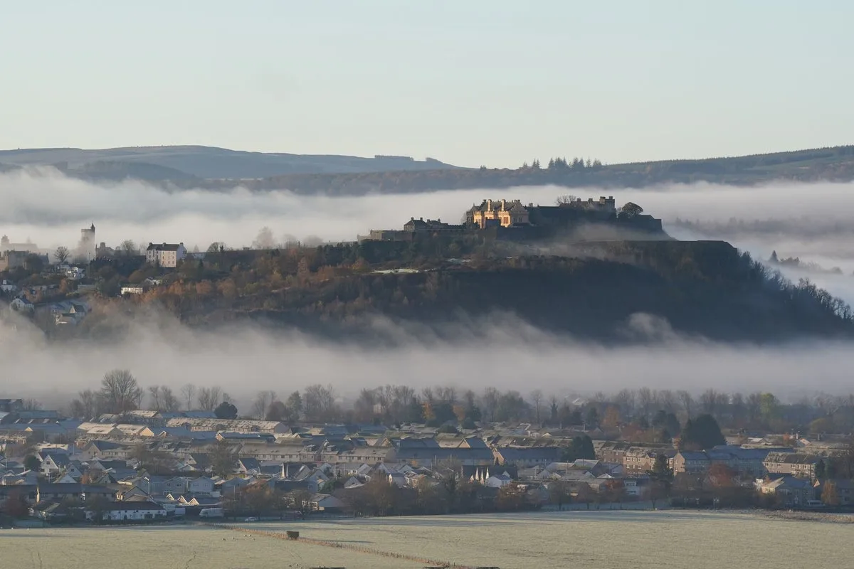
The UK is currently experiencing a period of 'anticyclonic gloom', which has brought grey skies, mist, and fog to much of the country. The Met Office explained that this phenomenon occurs when high pressure traps a layer of moisture near the Earth's surface, resulting in prolonged dull and cloudy weather. Despite the lack of rainfall, many people have expressed frustration, describing the conditions as 'depressing' and 'claustrophobic'.
According to the Met Office, the high-pressure system is expected to persist, keeping conditions mostly dry but cloudy across the UK. Temperatures are forecast to remain mild, around 12°C, with the best of any brightness likely to be in the north, to the lee of high ground. Patchy drizzle may affect hills in the west, but significant rainfall is not expected.
Overnight, mist and fog are possible, and may be slow to clear in some areas. The outlook for the rest of the week suggests little change, with high pressure continuing to dominate. By Saturday, there is a possibility of longer spells of rain in the west, but otherwise, the anticyclonic gloom is set to linger.




