
The United Kingdom is preparing for a significant and rare weather phenomenon this week as a biting Arctic blast descends, threatening to coat parts of the country in a treacherous layer of ice. Forecasters are warning of a 50-mile stretch of freezing rain, a hazardous event that could lead to widespread travel disruption and dangerous conditions underfoot.
What is Freezing Rain and Where Will It Strike?
The Met Office has highlighted that freezing rain is an unusual type of liquid precipitation that freezes instantly upon contact with surfaces. This occurs under very specific atmospheric conditions, making it a rarity in the UK compared to more common winter weather like snow or sleet.
According to the latest data from weather mapping service Ventusky, this event is predicted to hit the west coast of Scotland late on Wednesday night, around midnight. The forecast suggests a near 50-mile corridor of freezing rain will develop, stretching from Armadale to Dumbarton.

While the western Scottish coast will be the primary focus, other bands of rain are expected to move across the nation. This comes as temperatures are set to plummet to well below freezing.
Plummeting Temperatures and Widespread Snow Forecast
The mercury is predicted to drop sharply across the UK. On Wednesday morning, most of Scotland is expected to see temperatures between -1C and -3C. However, the chill will be even more severe in parts of England, with the area around Hereford and Gloucester potentially reaching a bitter -4C.
Looking further ahead, fresh weather charts indicate that the icy conditions are set to continue, with a significant snow event forecast for November 30. WXCharts maps have turned white and purple, signalling the prospect of substantial snowfall across large parts of Britain.
This upcoming snow could affect major cities including Birmingham, Manchester, Bristol, Leeds, and Stoke-on-Trent, with temperatures crashing to around -2C. The most extreme cold is predicted for the regions around Inverness and Aberdeen, where thermometers may plunge to a punishing -6C.
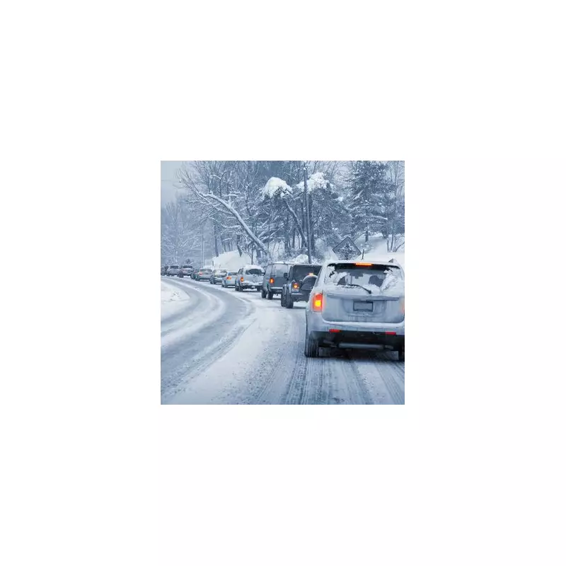
Travel Warnings and Hazardous Conditions
The Met Office has issued clear warnings about the dangers associated with the incoming freezing rain. The immediate glaze of ice it creates can turn roads and pathways into virtual ice rinks, leading to a high risk of travel delays and accidents for motorists and pedestrians.
The weather authority also cautioned that the weight of the accumulated ice can be heavy enough to bring down trees and power lines, potentially causing localised power cuts. Furthermore, freezing rain poses an extreme hazard to aircraft, impacting aviation schedules.
In its long-range forecast covering 27 November to 6 December, the Met Office stated that after a settled start, conditions will quickly turn unsettled across the UK. Atlantic weather systems are expected to bring cloud and rain, with the potential for heavy and prolonged downpours and gales. While the period is expected to be milder than recently experienced, short-lived settled spells could bring frost and fog, particularly in the south-east.


