
Nearly a month's worth of rain is expected to fall across the UK on Monday, prompting dozens of flood alerts. South Wales is under an amber warning for rain until 9pm, indicating a potential danger to life from fast-flowing or deep floodwater. Yellow warnings are also in place for parts of south-west and north-west England, central and northern Wales, and south-west Scotland.
The Met Office predicts up to 120mm of rain on the highest ground in Wales, with 60-80mm expected in many hills within the amber warning area. Lower levels could see 20-40mm. Chief forecaster Rebekah Hicks noted that the heaviest rain will move over south Wales from late Sunday through Monday, with the largest accumulations on high ground.
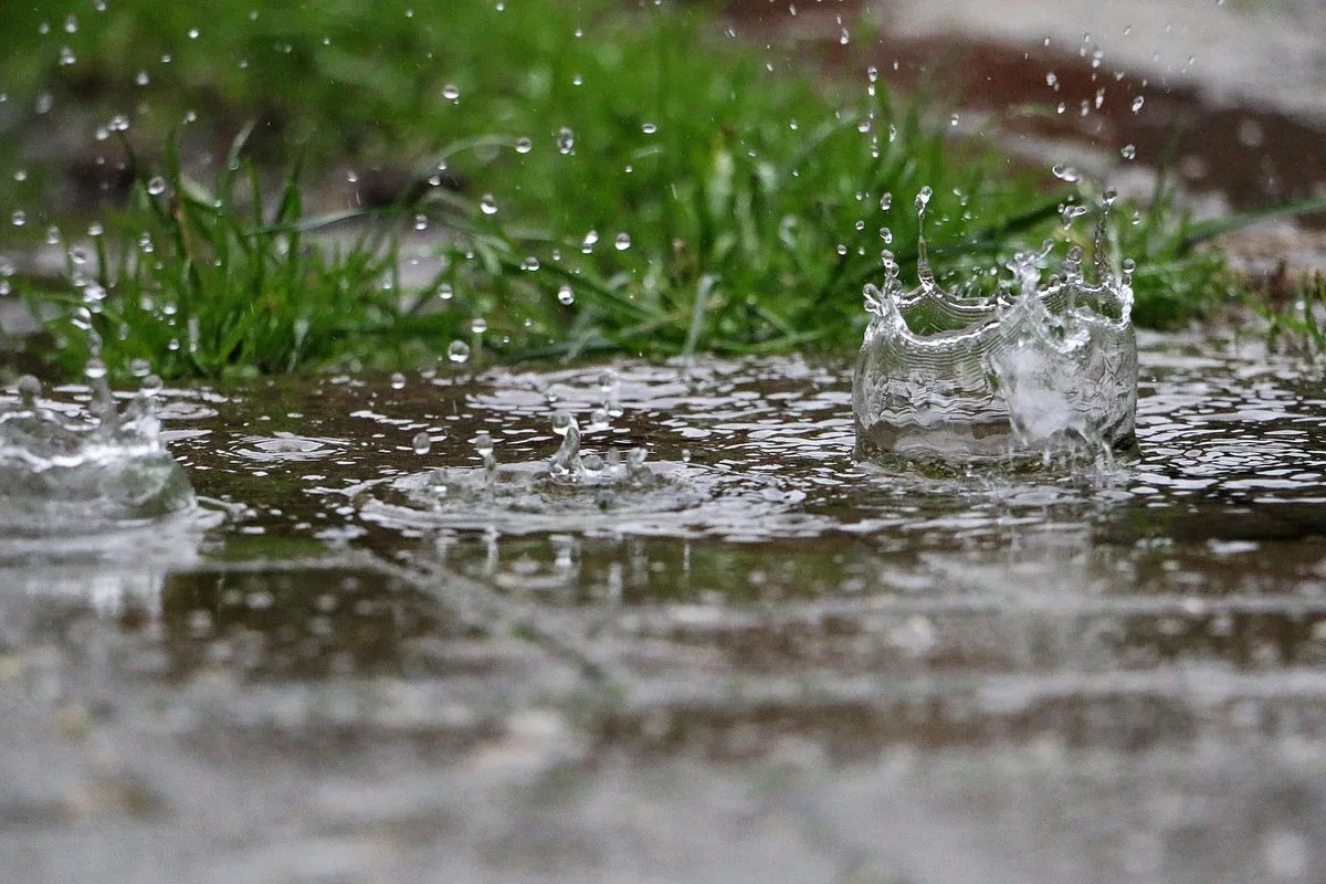
The ground is already saturated after a wet November, with Wales having received around 240mm of rain so far, well above the monthly average of 162mm. England and Wales together have seen 143% of normal rainfall. The Met Office warned that Monday could be a significant event, with increased risk of landslides and flooding.

Natural Resources Wales has issued 38 flood alerts, while the Environment Agency has shared five flood warnings and 44 alerts. Residents are advised to move to higher ground if flooding occurs, as homes and businesses could be flooded, and transport may face disruptions and power cuts.


