
Despite a brief spell of spring sunshine, the UK is set to be hit by snow again within days, according to weather maps from forecaster WXCHARTS. The maps indicate that colder temperatures will return from Monday, March 23, with snow first striking Aberdeen.
On Tuesday, March 24, snow will batter western parts of the UK, including Scotland, Blackpool and Wales. By Wednesday, March 25, snow will spread east and south, reaching as far as Plymouth and Norwich. The heaviest snowfall is expected in Scotland and the north-east and north-west coasts of England, with purple on the maps indicating snow stretching down the coastlines.
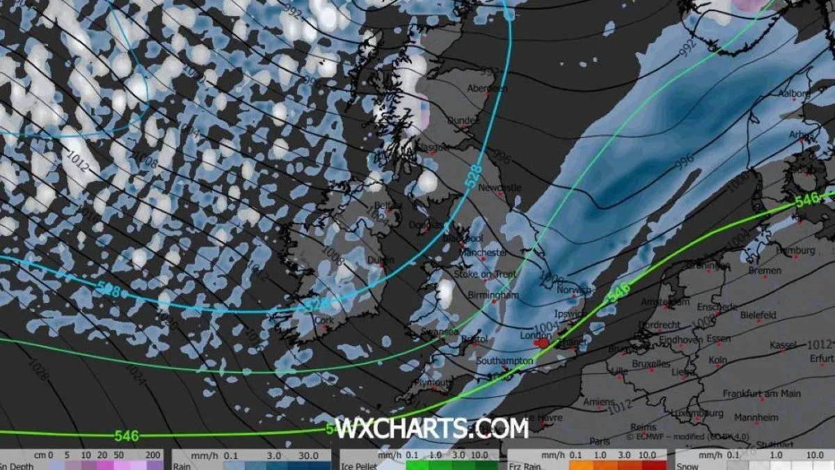
A snow depth map shows the heaviest snowfall, around 14cm, in Gairloch, Scotland. By 9am on Wednesday, most of northern Scotland above Dundee will be blanketed. In Wales, the west coast will see significant snow, extending inland towards Cardiff. In England, snow is forecast for Cumbria, Manchester and Stoke-on-Trent, and by 9pm, the east coast from Newcastle to Ipswich will be affected.

The south of England and the Midlands will remain largely dry, with only small, non-persistent patches of rain and snow. Northern Ireland will also stay mostly clear, with a small patch of snow around Derry. The Met Office's five-day forecast notes that it will be cloudy and breezy in the north tonight, with fog patches elsewhere, and that colder, windier weather with wintry showers is expected midweek.


