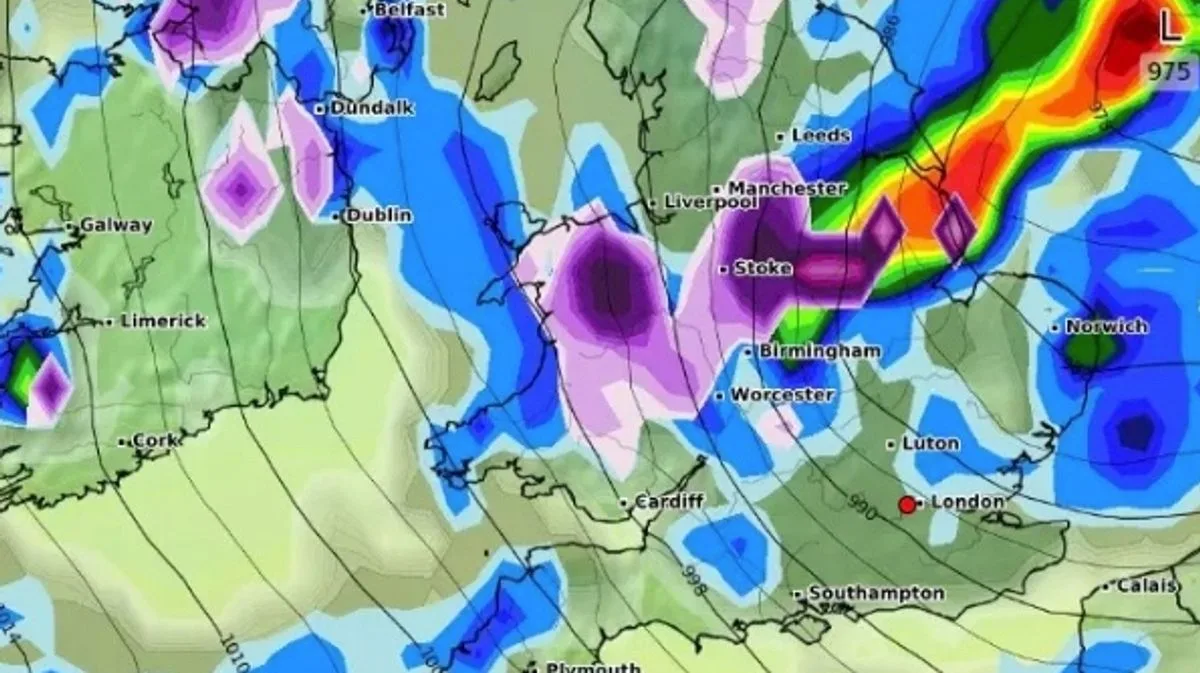
UK Snow Maps Show 13 Counties Bracing for Arctic Blast and Frost
UK Snow Maps: 13 Counties Brace for Arctic Blast

Snow could hit parts of England and Scotland in just a few days' time, new weather maps show, as the Met Office warns of a cooler spell with thunder and overnight frosts.

When and Where Snow Is Expected

The maps from WXCharts, which uses MetDesk data, suggest bands of snow will move into parts of Scotland by 3pm on Tuesday (May 12) before spreading more widely on Wednesday (May 13). By midday on Wednesday, the maps indicate snow sweeping into higher parts of Yorkshire and County Durham, including Harrogate and Darlington, as well as Newcastle and Durham. Scotland, from Ayr to central and northern regions, could also see snowfall.

Further south, parts of northern England, including Blackpool, Preston, and Blackburn, are likely to see rainfall instead, according to the maps. Temperatures are expected to be near-freezing in parts of Scotland by around 6am on Wednesday, with lows of between 3C and 7C throughout most of England.

Wide Pickt banner — collaborative shopping lists app for Telegram, phone mockup with grocery list

Counties That Could See Snow

  • Highlands
  • Argyll & Bute
  • Perth and Kinross
  • Stirling
  • Clackmannanshire
  • Cheshire
  • Staffordshire
  • Greater Manchester
  • Lancashire
  • West Yorkshire
  • North Yorkshire
  • Shropshire
  • Derbyshire

Met Office Forecast

The Met Office's UK forecast from Tuesday to Thursday reads: "Rain moving southeastwards on Tuesday. This will be followed on Wednesday and Thursday by sunshine and showers, heavy and thundery at times. Rather cool and often breezy. Further overnight frosts."

There will be showers most days in the cool northerly or northwesterly flow, turning heavier from mid-week, when arctic air arrives, while at night there will be a risk of widespread frost as skies clear, particularly later in the week.

"Another weakening cold front will move southeast across the UK on Tuesday, reaching the southeast early evening, just a band of cloud with some patchy rain not amounting to much for most, very little rain when it reaches the southeast. Some sunshine ahead of the front, while sunny spells return following the front clearance, but with blustery showers arriving in the northwest. Temperatures similar to Monday."

Expert Analysis

Netweather.tv meteorologist Nick Finnis wrote in his latest weather blog: "Later in the week, air will have originated from within the arctic circle, so it will feel distinctly chilly, particularly out of the sun, while snow is a possibility for Scottish mountains. There will be showers most days in the cool northerly or northwesterly flow, turning heavier from mid-week, when arctic air arrives, while at night there will be a risk of widespread frost as skies clear, particularly later in the week."

Pickt after-article banner — collaborative shopping lists app with family illustration