Britain is preparing for a major weather disruption as twin Arctic storms are forecast to sweep across the country, bringing significant snowfall and heavy rain in the first week of December.
Detailed Snow and Rain Timeline
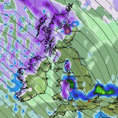
Advanced modelling from GFS charts indicates a substantial weather front will impact the entire UK in the early hours of December 4. While Northern Ireland, Wales, England, and southern Scotland are set for a drenching from heavy rain, central and northern Scotland could witness the first serious snowfall of the season.
By midday on December 4, the situation evolves, with maps showing all of England and Wales engulfed in rain. However, the north-west of Scotland remains in the firing line for snow. The meteorological drama intensifies the following day, as a second weather front approaches.
Widespread Snow Arrives on December 5
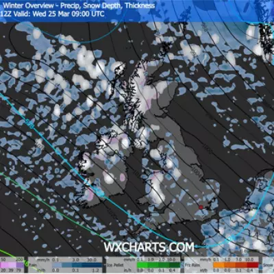
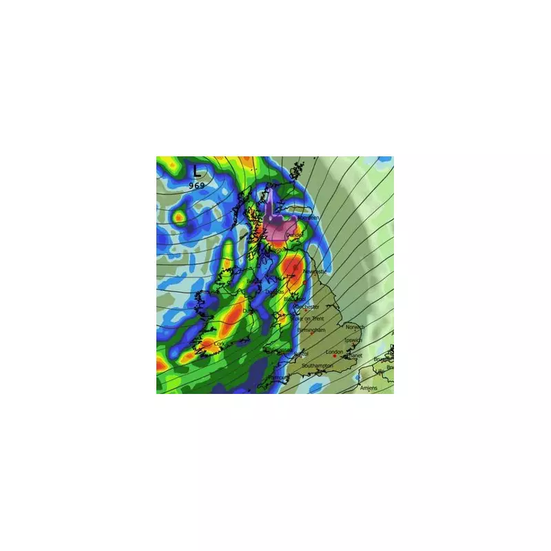
Maps for December 5 reveal a dramatic shift, with snow beginning to fall across more parts of the nation. Around midday, light snow is expected in Northern Ireland, while heavy snow targets Ireland, particularly Dublin.
In England, snowfall will initially centre on the Yorkshire Dales and Pennines before spreading throughout the day. By 3pm, a clear band of snow is predicted to stretch from central Wales to the east coast of England.
Major towns and cities find themselves directly in the path of this wintry blast. Manchester, Stoke, Leeds, and Sheffield are all identified as areas at high risk. Data suggests that northern England could see accumulations of up to 3cm, while the Scottish Highlands may be buried under as much as 10cm (four inches) of snow.
Official Forecasts and Long-Range Outlook
The Met Office has corroborated the potential for unsettled conditions at the start of next month. Its forecast for December 1 to 10 states the UK should expect "changeable and often unsettled conditions," dominated by low-pressure systems bringing showers and longer spells of rain.
The national weather service indicated that the "greatest chance of snow will probably be over northern high ground." It also warned of strong winds at times and temperatures close to average, though colder conditions may occasionally push into northern areas, bringing a risk of overnight frost.
Meanwhile, BBC Weather's forecast for December 1 to 7 suggests a reduced risk of notably cold conditions initially, due to a positive phase of the North Atlantic Oscillation. This pattern typically brings milder, wetter, and windier weather from the west or south-west.
However, the BBC did note a slight chance by the week's end that high pressure could shift, allowing for a "temporary shot of seasonably chiller northwesterly winds," which would align with the snow predictions for December 4 and 5.


