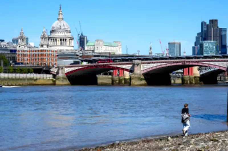
Britain is forecast to experience unusually high temperatures on Friday, with parts of the country, particularly the London-East Anglia corridor, potentially reaching 27C, exceeding Honolulu's forecast. These temperatures are approximately 10C above the average for early May, marking the warmest day of the year so far for some regions.
Warm air from the south
The warm weather is attributed to a shift in wind direction, bringing warm air from the south, ending the recent chill on eastern and southern coasts. However, forecasters warn that this early-summer warmth will be short-lived, with heavy rain and thunder anticipated over the May Day bank holiday weekend.
Weekend forecast
The Met Office predicts bright spells and showers for Saturday, followed by a significantly wetter Sunday across most of the country. Heavy rain and thunderstorms are expected to move in, potentially causing disruptions to outdoor plans.

People enjoying the warm weather on Friday are advised to make the most of it, as conditions will deteriorate rapidly. The sudden change is due to a cold front sweeping in from the Atlantic, colliding with the warm air mass.