
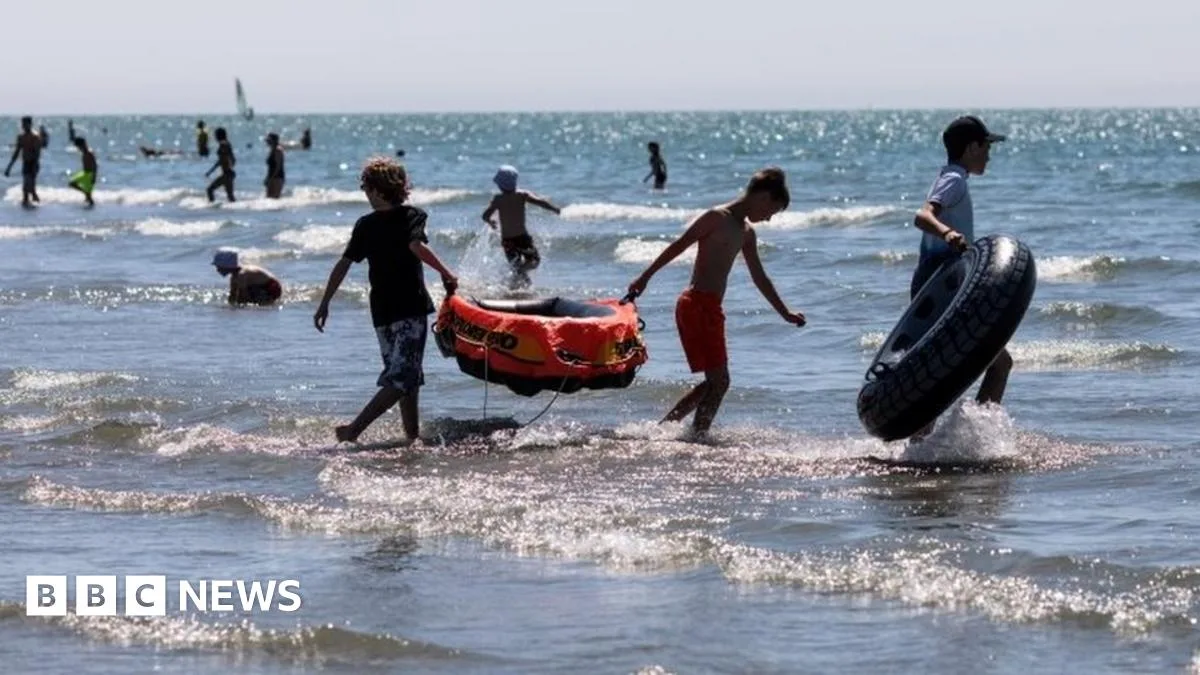
The UK heatwave, which saw temperatures exceed 30°C on Tuesday, is set to end with heavy rain and thunderstorms forecast for Friday. The Met Office has issued a yellow warning for rain, with up to 30mm of rainfall possible in just one hour in some areas that have not seen rain for over a month.
Tuesday's highest temperature was recorded in Cavendish, Suffolk, at 31.4°C. Wednesday is expected to reach 33°C, and Thursday could see highs of 34°C. However, a level three heat health watch alert remains in place for much of east and south-east England until Friday, with a 90% probability of heatwave conditions.
The dry spell has been severe, with several places in England experiencing 54 consecutive days without significant rainfall. The Met Office reported that the first half of summer has been the driest since 1961, with the UK receiving only about 20% of the expected rainfall. Parts of southern England have seen just 6%.
The heat has led to a hosepipe ban, closed canals, and revealed ancient landscapes. Rivers and streams have dried up, prompting the Environment Agency to rescue thousands of fish. The National Farmers' Union warned of crops 'parched to the bone' and livestock farmers using winter rations due to halted grass growth.
Retailers reported a surge in sales, with fans up 315% and barbecue sales increasing by 723% compared to last year. The NHS advised vulnerable groups to stay out of the sun, as heat can worsen chronic conditions. Dr Nick Scriven, president of the Society for Acute Medicine, noted that his hospital unit in Halifax saw winter-level admissions, partly due to respiratory issues from poor air quality.




