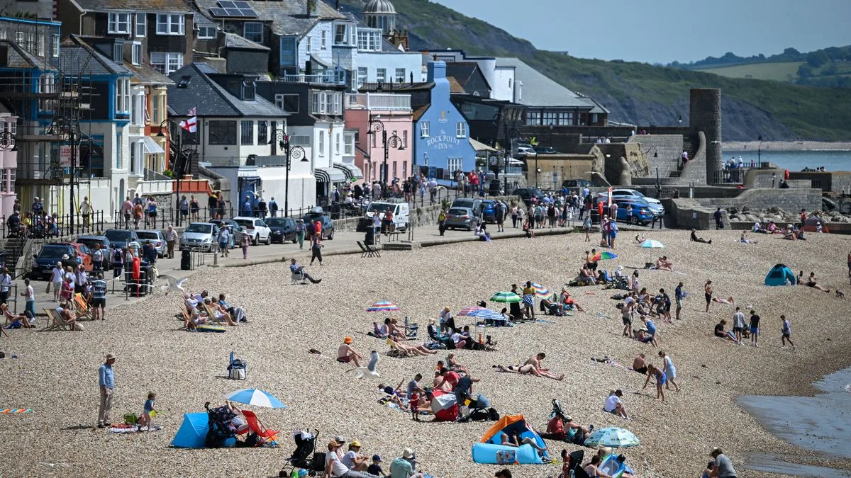
UK Braces for Significant Heat Surge with Temperatures Set to Soar
Advanced meteorological modelling maps reveal that a substantial heat surge is poised to sweep across the United Kingdom, with as many as 27 counties expected to experience temperatures exceeding 20 degrees Celsius next Wednesday. This dramatic shift follows the turbulent conditions brought by Storm Dave over the Easter weekend, which caused widespread travel disruptions and power cut risks before all weather warnings were lifted.
Met Office Forecasts Peak Temperatures of 24C
The Met Office has indicated that the mercury could climb to a peak of 24C in certain parts of the UK on Wednesday. This prediction represents a notable contrast to the recent inclement weather, highlighting the rapid transition in atmospheric conditions. Meteorologist Greg Dewhurst provided insight, stating, "On Tuesday, warmer air moves in across England and Wales from the near continent through Tuesday and into Wednesday. We will see temperatures rising to the low 20s, with highs around 20C or 21C on Tuesday, and possibly 23C or 24C come Wednesday. The sunniest skies on Wednesday may be limited to south-east England, where 23C and 24C is most likely."
Detailed Regional Breakdown and Affected Counties
The UKV weather model specifically forecasts that temperatures will rise to and above 20C across a vast expanse of England. Conditions are anticipated to be warmest in the southern, south-eastern, eastern, and Midlands regions. The following 27 counties have been identified as likely to experience temperatures above 20C on Wednesday:
- Devon
- Dorset
- Hampshire
- Sussex
- Kent
- Surrey
- Berkshire
- Wiltshire
- Gloucestershire
- Oxfordshire
- Buckinghamshire
- Middlesex
- Essex
- Hertfordshire
- Bedfordshire
- Suffolk
- Norfolk
- Cambridgeshire
- Northamptonshire
- Warwickshire
- Worcestershire
- Staffordshire
- Derbyshire
- Nottinghamshire
- Leicestershire
- Lincolnshire
- Yorkshire
This extensive list underscores the widespread nature of the impending heat surge, affecting a significant portion of the country.
Comparative Forecast and Public Health Guidance
The Met Office's latest morning forecast further detailed the temperature expectations, predicting highs of 18C in northern areas and 23C in southern regions on Tuesday. For Wednesday, northern areas are expected to reach 19C, while southern areas could see the peak of 24C. In light of these forecasts, the Met Office has issued essential advice for managing hot weather conditions:
- Look out for vulnerable individuals: Older people, those with underlying health conditions, and those living alone are particularly at risk and may struggle to keep cool and hydrated.
- Stay cool indoors: Close curtains in rooms facing the sun to maintain cooler indoor spaces. Interestingly, keeping doors and windows closed during the hottest part of the day can help retain cooler temperatures inside.
- Hydrate responsibly: Drink plenty of fluids and avoid excessive alcohol consumption.
- Vehicle safety: Never leave anyone, especially infants, young children, or animals, in a closed, parked vehicle.
- Sun protection: Try to avoid sun exposure between 11am and 3pm when UV rays are strongest. If going out, walk in the shade, apply sunscreen, and wear a wide-brimmed hat.
- Avoid exertion: Steer clear of physical activity during the hottest periods of the day.
- Travel preparedness: Always carry water when travelling, as journeys may take longer than anticipated.
- Stay informed: Keep up to date with the latest weather forecasts and any extreme heat warnings issued by authorities.
- Water safety: If cooling down in open water, exercise caution and adhere to local safety advice.
This comprehensive guidance aims to ensure public safety and well-being during the anticipated heat surge, which marks a stark departure from the recent stormy weather patterns.






