
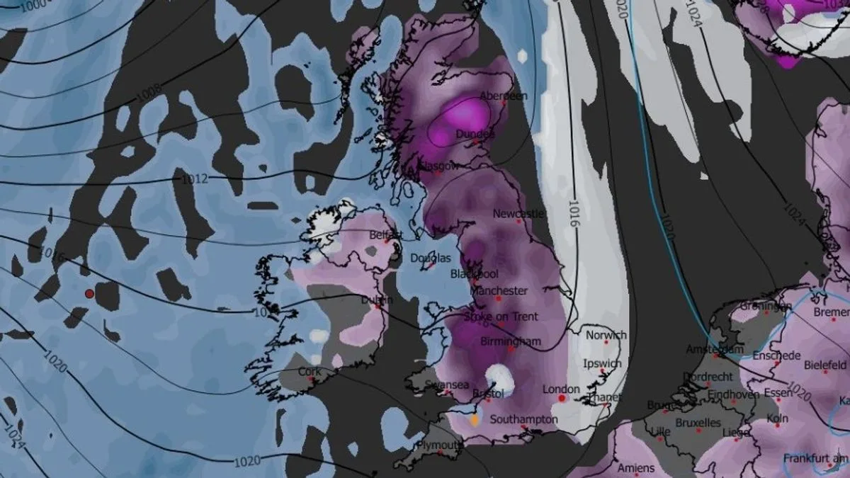
Brits are bracing for two massive blizzards that could bring up to 19 inches of snow, with 90 per cent of the UK expected to be affected. Advanced weather modelling maps indicate the first storm will sweep across the UK on January 29, initially hitting Northern Ireland, Wales, the west coast of Scotland and the south-west of England.
Snow is forecast to move eastward throughout the day, reaching northern England, the Midlands and the south-east by 9am. Major cities including London, Southampton, Birmingham, Manchester and Liverpool could be in the firing line, with further flurries in parts of Northern Ireland and Scotland.
A second blizzard is expected on January 30, with the GFS weather model showing intense snow in the south-west, Wales, the north-west and parts of Scotland around 9pm. This storm is predicted to move eastward into the early hours of January 31, bringing snow to Yorkshire, the Midlands and southern England by 6am.

Snow coverage maps reveal roughly 90 per cent of the UK could be covered by snow on January 31, with only the south-west and some parts of Wales and Northern Ireland likely to miss out. Snow depth charts show up to 48cm (19 inches) could settle in the Scottish Highlands, 12cm (5 inches) in northern and central England, 15cm (6 inches) in North Wales, and 7cm (3 inches) possible in parts of southern England.
The Met Office also warns of further snow at the end of January and start of February. Its forecast for January 24 to February 2 states: “The UK will likely continue to sit in the battleground between Atlantic weather systems… bringing the risk of some snow, more especially on hills in Scotland and northern England.” The agency also notes “wintry hazards” are possible later in February.


