
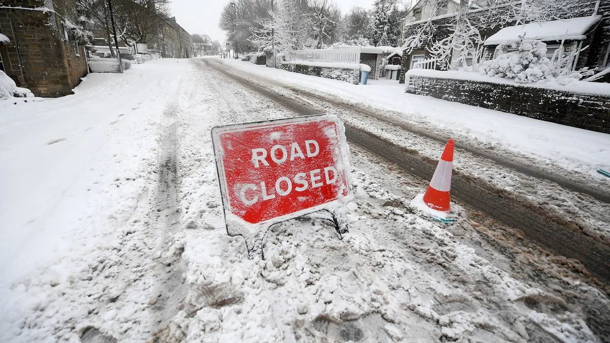
Temperatures across the UK are set to drop significantly in the coming days, with forecasters predicting snow in some parts. The Met Office has warned that parts of the country could be 10°C colder than during the same period last week, leading to widespread frost in central and northern areas.
As the weekend approaches, conditions will become damper and much colder. Northern regions, including Greater Manchester, will see brief sunny spells but also intermittent showers on Friday, Saturday, and Sunday. Met Office Deputy Chief Meteorologist Brent Walker said: “As we head through the second half of this week, cold air will push southwards across the country, and there is a risk that showers over mountains of Scotland could turn wintry.”
By the weekend, all regions of the UK are expected to be in the cold airmass, with overnight frosts possible. While Scotland may see snowy conditions on Friday evening and Saturday, Manchester and northern England will narrowly miss the snow, instead experiencing rainy and partly sunny conditions. Temperatures in Manchester will peak at 14°C on Friday, dropping to 11°C on Saturday and 10°C on Sunday, with lows around 5°C.
The Met Office forecast for the North West of England says: “A wet start with outbreaks of rain, heavy at times through the morning. Becoming much drier, brighter and fresher during the afternoon with the odd shower. Maximum temperature 14°C.” For Saturday through Monday, it adds: “Plenty of autumnal sunshine through the weekend and into Monday. A few showers possible, mainly on the coasts on Saturday but feeling cooler, especially overnight with a frost forming.”




