
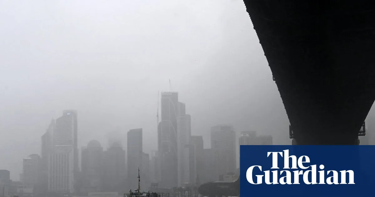
The Bureau of Meteorology (BoM) has issued severe weather warnings for parts of eastern Australia, with thunderstorms expected to bring heavy rainfall and flash flooding to the south-east in the coming days. A low-pressure system over South Australia, combined with moisture from the tropics, is driving widespread rainfall across the region.
In the 24 hours to Tuesday afternoon, thunderstorms delivered up to 60mm of rain in New South Wales, 70mm in Tasmania, 20mm in Victoria, and 40mm in south-east South Australia. Meteorologist Ilana Cherny said severe thunderstorms were predicted for the central west of New South Wales on Wednesday, extending south into Victoria by Thursday evening, with possible damaging winds and large hail in southern Queensland.
The BoM also reported “signs of El Niño development” in the tropical Pacific, which could increase the chance of hotter and drier conditions, particularly in spring. All climate models reviewed by the bureau forecast sea surface temperatures reaching El Niño thresholds by winter, with at least moderate strength expected, though the bureau cautioned that strong El Niño events do not necessarily mean severe impacts on Australia’s climate.
Accumulated rainfall totals of 25-100mm are expected through southern Queensland, 50-100mm on the New South Wales western slopes, 100-150mm along parts of the New South Wales coast, and 50-100mm in eastern Tasmania. The low-pressure system is forecast to move offshore on Friday, but moisture will continue to bring heavy falls to coastal New South Wales.




