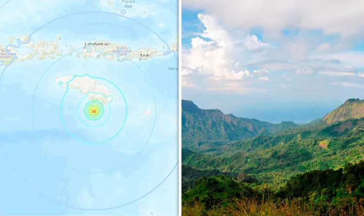
A magnitude 6.0 earthquake struck off the coast of Sumba Island near Bali, Indonesia, the US Geological Survey (USGS) reported. The tremor was initially measured at 6.2 but was later downgraded.
The earthquake is classified as strong, meaning it has the potential to cause extensive damage to buildings and residential areas. The epicentre was located approximately 30km (18 miles) south of Sumba, striking between 11.12pm and 12.16am UTC.
Indonesia is situated within the Pacific Ring of Fire, a region known for frequent seismic activity. The area experiences 90 percent of the world's earthquakes and contains 452 volcanoes.

The latest quake comes just days after a devastating 7.5 magnitude earthquake and subsequent tsunami struck the island of Sulawesi, leaving over 800 dead and an estimated 191,000 people in urgent need of assistance according to the UN.
In Sulawesi, mass burials have begun for victims, and rescue teams continue to search for survivors trapped under rubble. A 38-year-old man was rescued from a collapsed building in Palu on Monday, three days after the disaster.