Australia is facing a severe and multi-faceted weather crisis as 2025 draws to a close, with major flood warnings, extreme fire danger and an approaching cyclone threatening different parts of the continent.
Queensland Floods: A Dynamic and Dangerous Situation
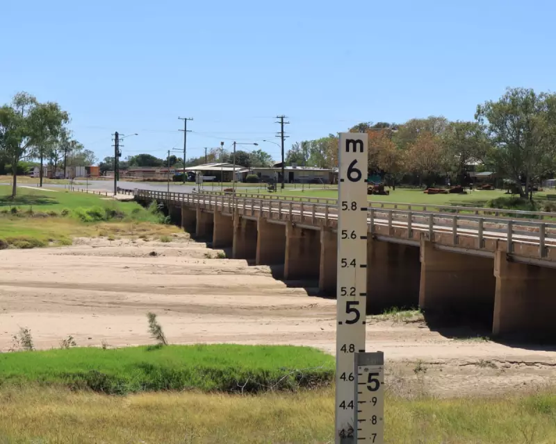
A major flood warning is in effect for the Flinders River in northern Queensland, with moderate warnings also issued for the Cloncurry and Western rivers. The Bureau of Meteorology (BoM) warns the situation remains "dynamic" due to a slow-moving monsoon trough and low-pressure system. Forecaster Jonathan How stated this system is expected to deliver further heavy rainfall across the region.
This follows intense rain on Sunday and into Monday morning. Some areas saw staggering totals, with South Mission Beach recording 369mm in the 24 hours to 9am. Widespread falls of 100mm to 200mm were reported between Innisfail and Ingham, with 50mm to 100mm from the gulf coast to Cloncurry.

How warned that flash flooding and rapid creek rises continue to pose a significant risk across north-western Queensland, the tropical north-east coast, and parts of the Northern Territory. These conditions could "cause disruption to communities and travellers, as well as threaten lives, property and agriculture, including livestock and cattle."
The Queensland State Emergency Service responded to 34 calls in the past 24 hours, including in Townsville, Cairns and Cassowary. Deputy Commissioner Chris Stream revealed crews conducted food and medication drops for tourists caught off guard in the Three Rivers area near Cloncurry.
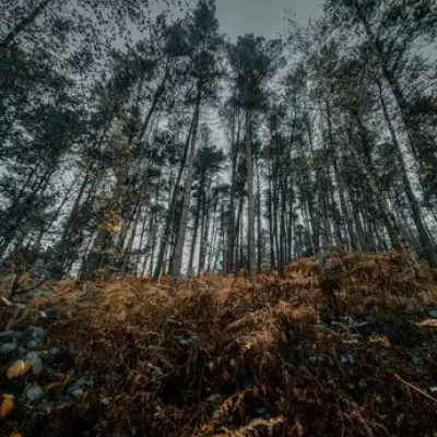
Extreme Fire Danger and an Approaching Cyclone
While the north battles floods, South Australia is contending with the opposite extreme. Total fire bans are in place for the Mount Lofty Ranges and eastern Eyre Peninsula amid an extreme fire danger rating and a forecast 38C day for Adelaide on Monday.
The SA Country Fire Service reported elevated fire danger across much of the state, with active fires at Second Valley on the Fleurieu Peninsula, Blanchetown in the Riverland, and Meningie in the Coorong. Residents have been urged to prepare and stay alert.
Meanwhile, off the west coast, Tropical Cyclone Hayley is tracking towards the Western Australian coastline. The system is expected to cross as a category-one cyclone near the Dampier Peninsula early on New Year's Eve. "As the tropical cyclone makes landfall … we can expect to see heavy rain, possibly damaging winds, and we will also see a storm surge develop along the coastline," explained BoM's Jonathan How.
On Monday morning, Cyclone Hayley was located about 465km north-west of Broome, packing winds of 85km/h near its centre with gusts up to 120km/h. A watch zone is in effect from Broome to Cockatoo Island, including Derby.
A Nation Under Pressure from a Changing Climate
This concurrent barrage of extreme weather events underscores the growing challenges posed by climate change. The Bureau of Meteorology notes that Australia's national annual average temperature is now about 1.5C higher than it was in 1910. This warming trend has increased the frequency and severity of extreme weather events, including heatwaves, bushfires, and intense rainfall leading to flooding.
While southern capitals like Sydney and Melbourne experience milder conditions, the contrasting crises in the north, south and west present a stark picture of a continent grappling with volatile and dangerous weather as it heads into the new year.