
Hurricane Erin has intensified into a category 5 storm as it moves through the north-east Caribbean, the National Hurricane Center (NHC) reported on Saturday. The storm, described as 'catastrophic,' is not expected to make landfall in the US but is bringing strong winds and heavy rain to nearby islands.
At the time of publication, Erin was located 105 miles north-east of Anguilla, with maximum sustained winds of 160mph. It was moving west at 17mph and was expected to pass near the Leeward Islands on Saturday, bringing 2-4 inches of rain, with up to 6 inches in some areas.
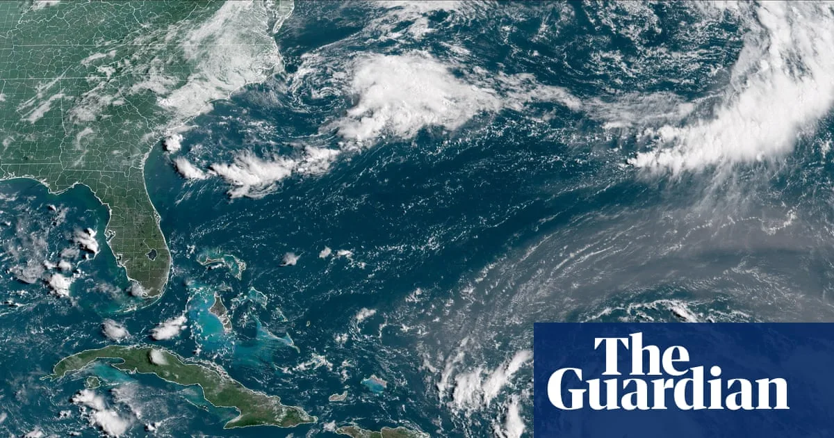
The NHC warned of life-threatening rip currents and rough ocean conditions along the northern Leeward Islands, the Virgin Islands, Puerto Rico, Hispaniola, and the Turks and Caicos Islands through the weekend. Swells are expected to spread to the Bahamas, Bermuda, and the US east coast early next week.

Erin is the first major Atlantic hurricane of the 2025 season. Its winds more than doubled in 24 hours, from 70mph on Friday to 145mph on Saturday. The NHC forecasts the storm will strengthen further over warmer-than-normal ocean temperatures and could double or triple in size by mid-week.
As a precaution, the US government has deployed over 200 Fema employees to Puerto Rico, where a flood watch is in effect. Puerto Rico's housing secretary said 367 shelters have been inspected and could be opened. The US coast guard closed six seaports in Puerto Rico and two in the US Virgin Islands. Officials in the Bahamas also prepared public shelters, urging residents to track the storm.


