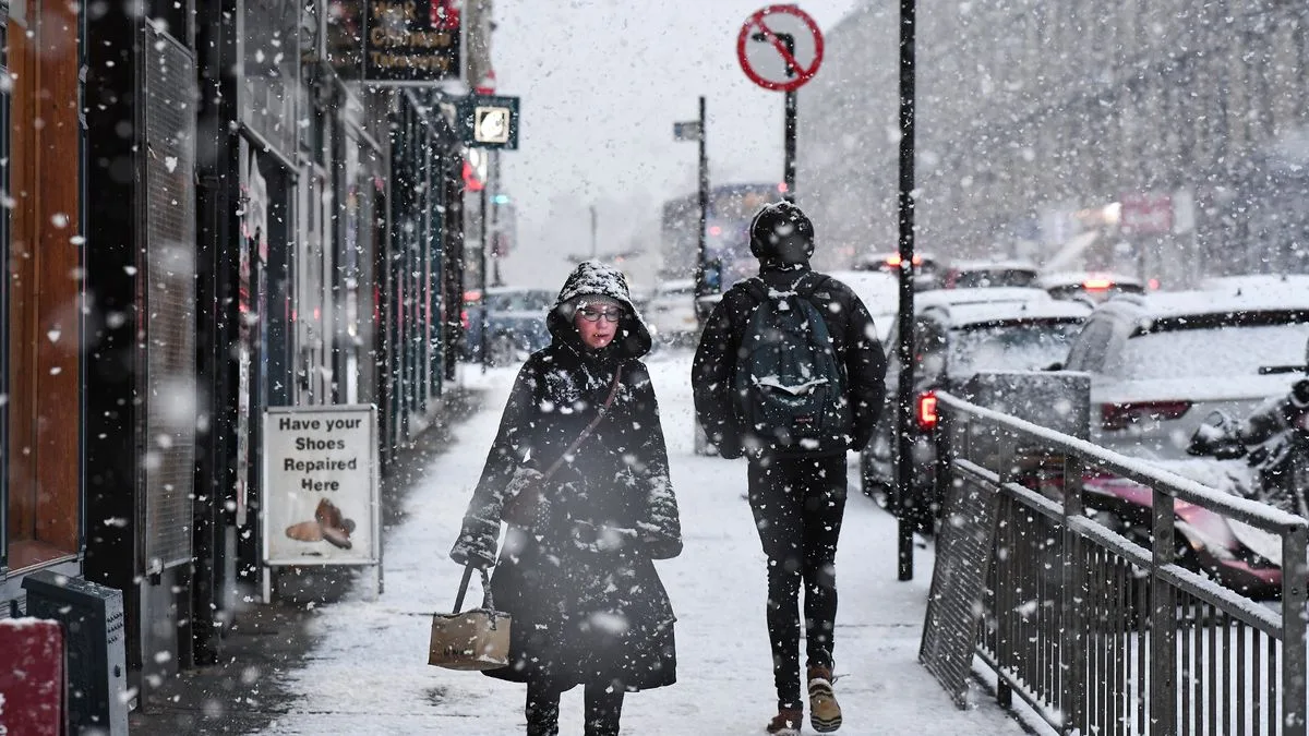
The United Kingdom is preparing for a severe bout of winter weather, with forecast maps indicating heavy snow will spread across the country, reaching as far south as London and Birmingham. One area is set to be buried under 25 inches (65cm) of snow, while temperatures are predicted to plummet to a bone-chilling -11°C.
Widespread Warnings as Snow Blankets the Nation
The Met Office has issued multiple yellow weather warnings for snow and ice, highlighting the risk of significant disruption. Data from WXCharts, using MetDesk information, shows the icy snap will grip the nation from today, Tuesday 6th January 2026. Scotland is expected to bear the brunt initially, with the Northern Highlands and the Isle of Skye facing up to 65cm of snow accumulation.
By 6am on Tuesday, the snowfall is projected to extend into parts of England, covering cities including London, Birmingham, Manchester, Stoke-on-Trent, and Newcastle. The maps further suggest that by Tuesday evening, the wintry conditions will reach Southampton, Bristol, Plymouth, and Cornwall.
Met Office Forecasts Hazardous Conditions
Matthew Lehnert, Chief Meteorologist at the Met Office, warned: "The UK will continue to experience a range of winter weather hazards through this week, with low temperatures as well as snow showers and the risk of ice for many." He urged the public to keep updated with forecasts as warnings are likely to be adjusted.
The forecast for Tuesday indicates wintry showers will start in parts of Wales and southwest England. A mix of rain, sleet, and snow will then move southeast across Scotland and Northern Ireland, arriving in parts of Wales and England later. The Met Office has specifically warned of potentially disruptive snowfall in central and northern Scotland from late Tuesday morning until early evening.
Potential Impacts and Extended Outlook
The National Weather Agency has cautioned that the snow and ice could lead to travel chaos, with some areas also at risk of power cuts. Looking ahead to the rest of the week, the Met Office predicts the cold spell will persist, with frontal systems bringing a mixture of rain, sleet, and snow across the country, accompanied by strong winds at times.
In its long-range forecast from Saturday to Monday 19th January, the forecaster indicated a changeable period. Atlantic weather systems could bring spells of rain, possibly preceded by snow, particularly in northern and eastern areas. Some significant snowfall is possible, especially on northern hills. While temperatures may trend closer to average later in the period, especially in the south, there is a hint of another colder, drier spell towards the end.