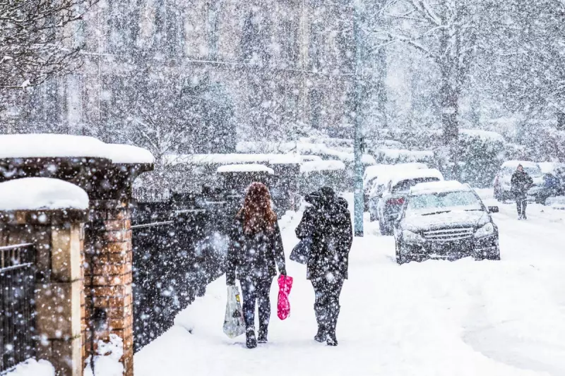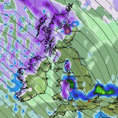
The arrival of snow transforms the British landscape, turning northern England into a winter wonderland and prompting amber weather warnings across the UK. But what creates this magical blanket of white? Professor Alexandria Johnson, an expert in atmospheric and planetary sciences, reveals the fascinating journey from ice crystal to snowfall.
The Birth of Snow in Clouds
Snow begins its life high in the atmosphere where clouds form. When sunlight warms the ground, the air closest to the surface heats up and begins to rise. As this air ascends, it cools rapidly, causing water vapour to condense into tiny ice crystals. This process creates the clouds that eventually produce snow.
When temperatures drop well below freezing - under 32 degrees Fahrenheit or zero degrees Celsius - something remarkable happens. The frozen water molecules arrange themselves into a hexagonal, six-sided crystalline structure. These delicate ice crystals continue growing and clustering together until they become too heavy to remain airborne.
Why No Two Snowflakes Are Identical
The incredible diversity of snowflake shapes stems from their unique journeys through clouds. Each ice crystal experiences different temperatures and humidity levels as it travels upward and downward through the atmosphere. This ever-changing environment, combined with the infinite possible paths through a cloud, means every snowflake develops a distinct growth history and crystalline structure.
Professor Johnson explains that increased humidity causes ice crystals to grow intricate arms branching from their six corners. This branching process creates the characteristic snowflake shapes we recognise. Some differences are visible to the naked eye, while others require microscopic examination. Scientists can actually examine a snowflake and determine the path it took through the cloud before landing.
From Sky to Ground: The Snowfall Process
It takes approximately one hour for a snowflake to complete its journey from cloud to ground. When we see snow falling, we're rarely observing individual ice crystals but rather clusters stuck together. There are two primary ways ice crystals aggregate during their descent.
The first method, called mechanical interlocking, occurs in colder, drier conditions. When ice crystals with intricate branches bump into each other, their arms intertwine and stick together. This creates what people call dry snow - perfect for skiing and easily picked up by wind, but unable to hold together when formed into a snowball.
The second sticking method involves slightly warmer conditions. When ice crystals fall through areas where temperatures are slightly above freezing, their edges begin to melt. This tiny amount of liquid water acts like glue, allowing crystals that collide to stick together efficiently. The result is wet snow - less ideal for skiing but perfect for building snowmen.
Interestingly, clouds containing ice actually produce more rain than those without ice, according to weather scientists. This holds true even for warm tropical regions, since the atmosphere above us remains much colder and can reach freezing temperatures even on the warmest days.


