
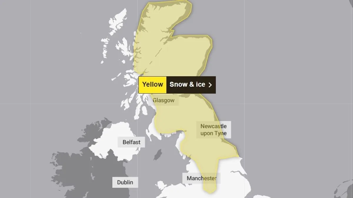
The Met Office has issued a new yellow warning for snow and ice on Sunday as the UK continues to grapple with the aftermath of Storm Goretti. The storm brought winds of nearly 100mph and a rare red warning for dangerous conditions in the South West. Power outages affected over 30,000 properties in the South West, with thousands more in the West Midlands, East Midlands, and Wales.
The new warning covers northern England and Scotland from 2am to 3pm on Sunday. Forecasters predict snow will cause travel disruption, with possible delays on roads, railways, and air travel. There is also a risk of slips and falls on icy surfaces, as well as potential power cuts.
According to the Met Office, snow accumulation of 2 to 5cm is likely at low levels, with up to 10cm possible locally. Above 200 metres, 10 to 20cm is expected, and up to 30cm on exposed hills in Scotland. Strong winds may cause drifting snow, and widespread icy conditions are anticipated.
Affected areas include Central, Tayside and Fife, East Midlands, Grampian, Highlands and Eilean Siar, North East England, North West England, Orkney and Shetland, South West Scotland, Lothian Borders, Strathclyde, West Midlands, and Yorkshire and Humber. Chief Forecaster Steve Willington warned that ongoing disruption is likely, especially in regions that have already seen severe snowfall.
Storm Goretti, named by French weather service Meteo France, has been described as a multi-hazard event. While northern areas face snow and ice, central and southern England and Wales will see rain on Sunday. Milder conditions are expected by Monday and Tuesday.




