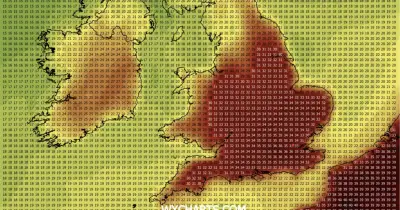
An Arctic blast of very cold air is set to bring snow, sleet, hail and icy conditions across most of the UK this weekend, the Met Office has warned. New yellow weather warnings for wintry conditions and potential travel disruption have been issued, lasting until Sunday morning.
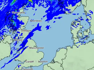
Yellow warnings for snow, sleet and hail are in place for northern Scotland, coastal north-east England and Yorkshire from 4pm on Friday until 10am on Saturday. Ice warnings cover Wales, south-west England, northern England, the Midlands, eastern England and London from 5pm Friday to 10am Saturday. Northern Ireland has an ice warning from 8pm Friday to 10am Saturday. A further snow and ice warning for Scotland and northern England runs from 9pm Saturday to 10am Sunday, with heavy snow and freezing rain possible.
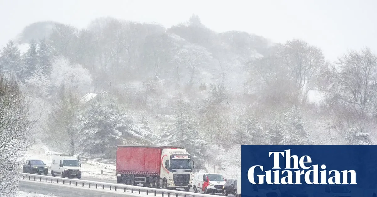
The wintry weather has already caused disruption, with the A66 across the Pennines closed between County Durham and Cumbria due to concentrated snowfall. National Highways crews are working to clear the road, but further snowfall is expected. The UK Health Security Agency has issued yellow cold weather alerts for northern England and the Midlands from Friday to Monday, warning of increased risk to vulnerable people.

The cold snap follows an unusually wet start to 2026 for many regions, with parts of Devon, Cornwall and Worcestershire experiencing rain for 40 consecutive days. As of Friday, there were 76 flood warnings and 154 flood alerts in England, plus four in Wales. Aberdeen saw 21 consecutive sunless days until Thursday afternoon.