
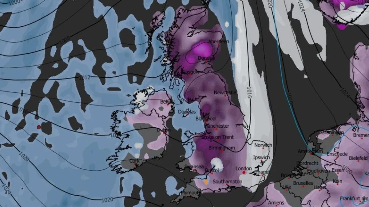
Britons are facing two massive blizzards that could bring up to 19 inches (48 cm) of snow, with 90% of the UK expected to be affected, according to advanced weather modelling maps. The first storm is forecast to hit on January 29, sweeping across Northern Ireland, Wales, the west coast of Scotland, and south-west England before moving eastward.
By 9am on January 29, snow is expected to fall over northern England, the Midlands, and the south-east, potentially affecting London, Southampton, Birmingham, Manchester, and Liverpool. A second blizzard is predicted for January 30, with intense snow in the south-west, Wales, north-west, and parts of Scotland, moving eastward into Yorkshire, the Midlands, and southern England by early January 31.
Snow depth charts indicate up to 48 cm (19 inches) could settle in the Scottish Highlands, with 12 cm (5 inches) in northern and central England, 15 cm (6 inches) in North Wales, and 7 cm (3 inches) possible in parts of southern England. The Met Office also warns of further snow at the end of January and into February, with a risk of wintry hazards later in the month.




