
The United Kingdom is experiencing its first significant winter blast, with snow blizzards, ice, and freezing temperatures causing widespread disruption. Hundreds of schools have been closed, and many roads are blocked or treacherous, as the Met Office issued multiple yellow weather warnings for snow and ice across various regions, including Devon, Cornwall, Kent, East Anglia, northeast England, Wales, Northern Ireland, and northern Scotland.
An amber warning was in place for the North York Moors and Yorkshire Wolds from 3am to 9pm, forecasting occasional blizzards and snowfalls of up to 25cm on hills, likely to cause substantial disruption. In Scotland, Aberdeenshire was the worst-hit area, with over 90 schools closed. In Wales, 36 schools were shut in Pembrokeshire, 14 in Carmarthenshire, and seven in Ceredigion. About 30 schools in North Yorkshire, eight in East Yorkshire, and several in Northumberland also did not open.
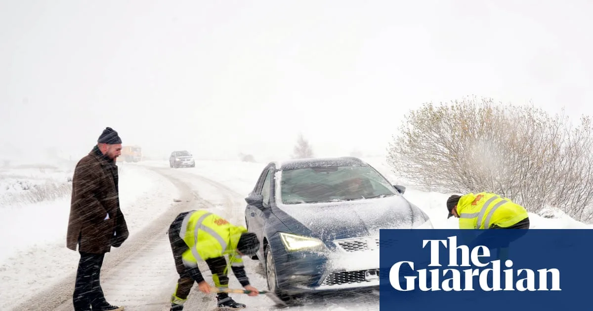
Road closures affected northern England, including the northbound A1 between Morpeth and Alnwick for over two hours, and the A171, with police advising against travel to Malton, Scarborough, Whitby, and Filey. The A169 from Pickering to Whitby and many rural roads were also closed. Drivers in North Yorkshire were urged to make only necessary journeys, and Pembrokeshire County Council warned of extremely hazardous conditions as snowfall continued.

The Met Office reported the coldest night of the winter so far in Northern Ireland, Wales, and England, with temperatures dropping to -6.6°C at RAF Benson, Oxfordshire, -6.4°C in Sennybridge, Powys, and -2.8°C at Altnahinch Filters, Co Antrim. Thursday night could see lows of -10°C in rural Scotland. The UK Health Security Agency's amber cold health alert remains in force across northern England until Saturday morning.
Some areas experienced 'thundersnow', with thunderstorms forming in wintry conditions and causing heavy snow downpours. Temperatures are expected to rise towards the weekend, bringing wetter and windier weather, but not as mild as earlier this month. Bookmaker William Hill has shortened odds for a White Christmas, offering 6/5 in Aberdeen, 7/4 in Newcastle, and 7/1 in London.


