
On 14 August 1975, an intense thunderstorm struck north London, delivering 170.8mm of rain in 24 hours—the highest daily total ever recorded in the London area. The deluge, concentrated between 5.30pm and 8.00pm, overwhelmed drainage systems and caused widespread flooding.
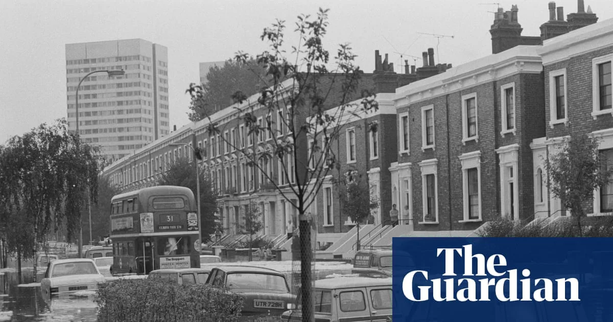
The storm, known as the Hampstead Storm, turned streets into canals, with cars floating and water pouring into underground stations. The Bakerloo and Metropolitan lines were shut down due to electrical faults. Rivers Tyburn, Fleet, and Brent burst their banks, flooding gardens and roads.
Raw sewage mixed with floodwaters, forcing hundreds to evacuate their homes, particularly those in basement flats. Emergency workers used small boats to rescue stranded residents, as captured in newspaper photographs.

Despite the chaos, a subsequent inquiry led by the Greater London Council's public services committee chair insisted that the sewers were adequate, though not designed for such an extreme event. The storm remains a benchmark for extreme rainfall in the capital.


