
New weather maps reveal that 39 regions across the UK are set to be hit by Arctic blizzards this week, with temperatures plunging to -9°C and snow expected as far south as Berkshire and Hampshire. The cold snap, which began overnight, will intensify over the weekend, according to data from forecasters at Metdesk.
A band of low pressure moving in from the North Atlantic will sweep southwards, bringing wintry conditions. The Met Office has warned that from Wednesday, it will feel markedly colder across all parts, with rain, sleet, and hail showers potentially quite widely, and snow likely over higher ground in the north. Temperatures could fall to -5°C in rural Scotland, with widespread frost and icy patches expected.
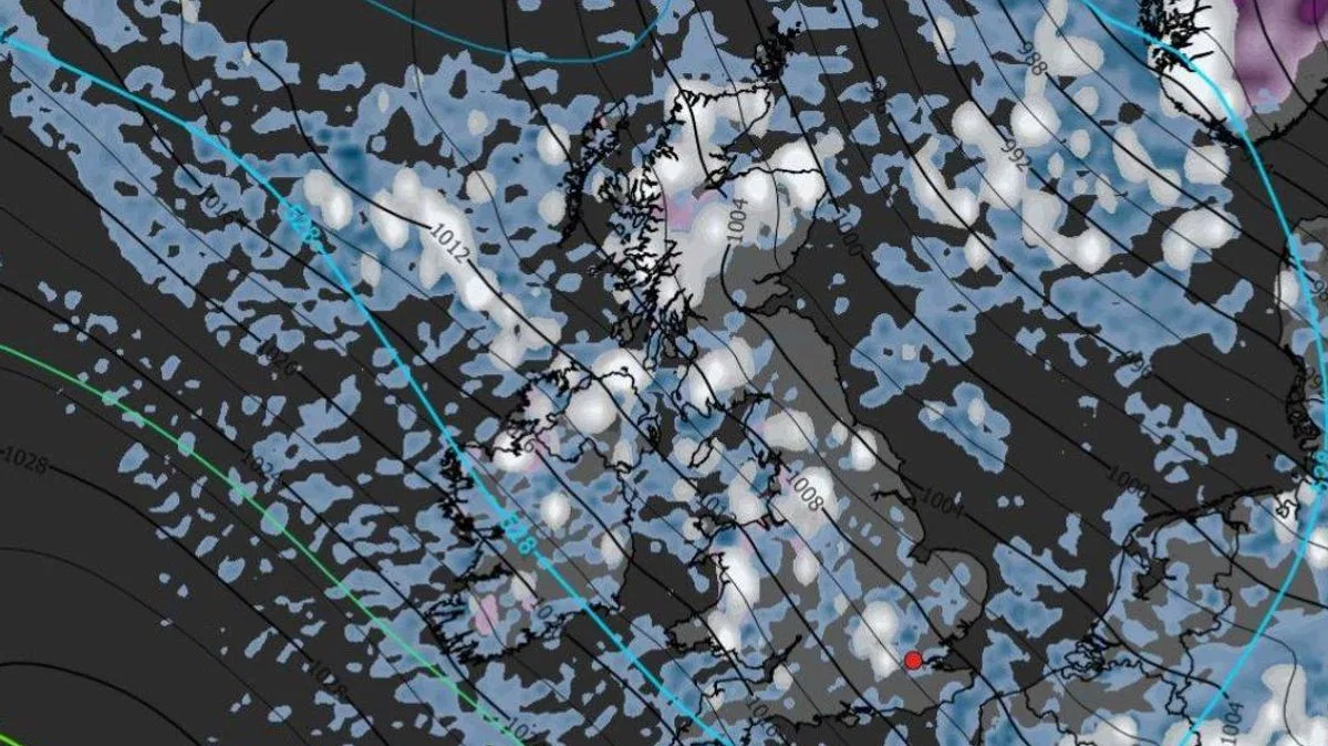
Weather charts from WXCharts.com, using Metdesk data, display white patches across much of Britain, including northern Scotland, the North West of England, the Midlands, Wales, and Southern England. By Saturday, scattered snow showers will continue in Scotland, Wales, Hampshire, and Berkshire, with charts turning purple to signal settled snow.

Met Office Deputy Chief Forecaster Steven Keates said: 'After a spell of mild and brighter weather, the UK will turn increasingly unsettled in the coming days. A series of weather fronts will bring periods of rain, strong winds, and much colder air by midweek. Wednesday could be quite a shock to the system.' He added that temperatures will range from 6°C to 10°C but will feel closer to low single figures in the wind.
The cold snap marks a stark contrast to last week's weather, when temperatures exceeded 20°C in west Wales. Low pressure is expected to dominate until the end of the month, with further rain and wind forecast for Sunday.


