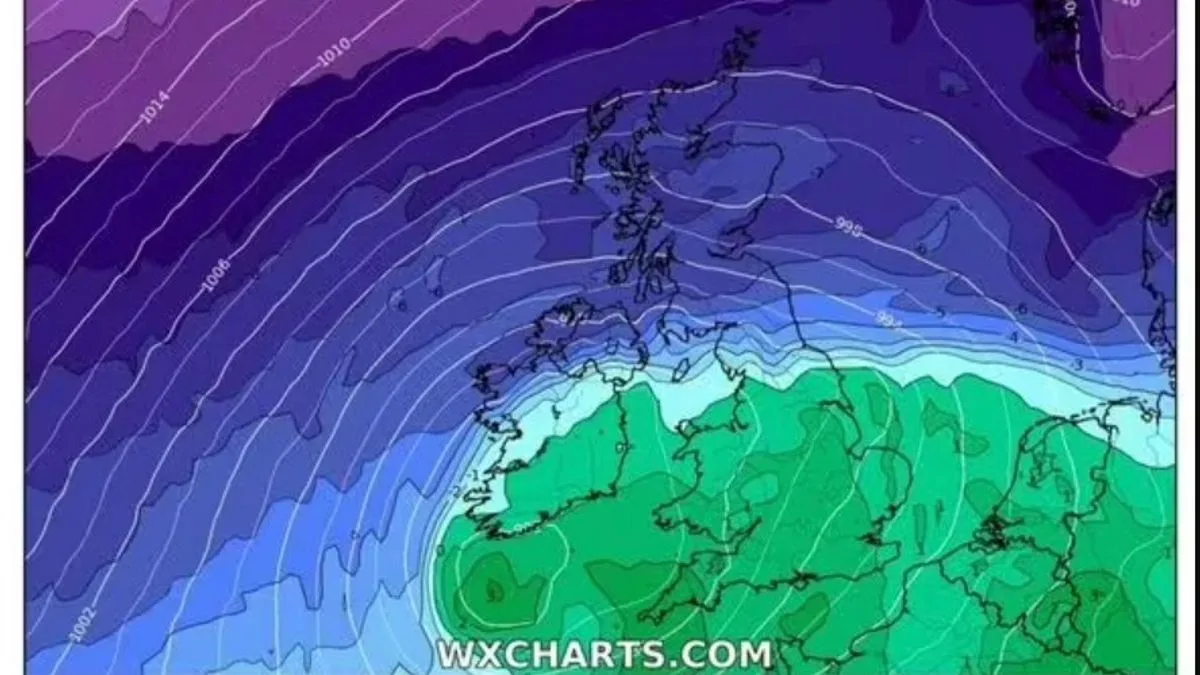
New weather maps have turned a stark icy blue, signalling a dramatic shift in conditions across the United Kingdom this week. Forecasters are predicting a significant Arctic freeze, with temperatures expected to plunge to a bone-chilling -3C and widespread snowfall set to blanket numerous regions.
A 'Second Winter' Arrives
The nation is bracing for what some are terming a 'second winter' as meteorological data indicates a sharp and sudden drop in temperatures. This cold snap is forecast to bring substantial snowfall to several areas, disrupting the recent spell of milder weather.
Snowfall Timeline and Impact
According to detailed maps created by WXCharts using Metdesk data, the wintry conditions are scheduled to commence in the early hours of Wednesday, March 25. These visualisations show extensive white and grey patches spreading across the country, indicating significant snow coverage.
The initial snowfall is expected to arrive around midnight on Wednesday, with conditions likely to persist throughout the day and into the evening. At least 18 different regions are anticipated to experience some form of snowfall, with the potential for sleet accumulation in many areas as well.
Regional Forecast Details
Scotland is predicted to bear the brunt of this Arctic blast. The Scottish Highlands are forecast to receive the heaviest snowfall, with accumulations ranging between two and five centimetres across lower ground. On the highest terrain, snow depths could reach up to 10 centimetres.
Northern cities, including Liverpool and Manchester, are also expected to welcome blizzard conditions throughout Wednesday. Meanwhile, southern regions such as Cambridgeshire and Essex are more likely to experience showers, though these could turn wintry.
Met Office Issues Warning
The Met Office has corroborated these forecasts, predicting a sudden and unsettled shift in the nation's weather pattern. Steven Keates, the Met Office's deputy chief forecaster, emphasised the dramatic change ahead.
"After a spell of mild and brighter weather, the UK will turn increasingly unsettled in the coming days," Keates stated. "A series of weather fronts will bring periods of rain, strong winds and much colder air by midweek. Wednesday could be quite a shock to the system."
Temperature Plunge and Broader Conditions
Alongside the snowfall, much of the country will need to prepare for persistently cool conditions. The temperature is forecast to make a dramatic U-turn, dipping into negative figures and remaining there for much of the day. This represents a significant departure from recent milder trends.
In addition to the snow, rain is also expected to fall on Wednesday, contributing to potentially hazardous travel conditions. Many regions are likely to see a mix of precipitation, including sleet, which may build up at various points during the day.
The combination of sub-zero temperatures, snowfall, and rain underscores the need for the public to take necessary precautions. Motorists are advised to plan for difficult driving conditions, while residents should ensure they are prepared for the cold snap.


