
Met Office Issues Snow Warning: Up to 10cm Forecast for Parts of UK on Wednesday
The Met Office has issued a stark warning for Britons to brace themselves as the country's relentless wet weather is set to turn wintry, with significant snowfall predicted for some regions within the next 24 hours. Forecasters have indicated that certain areas could see accumulations of up to 10 centimetres (approximately 4 inches) of snow by the end of Wednesday, February 11, 2026, marking a sharp shift from the recent deluge of rain.
From Rain to Snow: A Dramatic Weather Shift
This alert comes after weeks of persistent rainfall across the UK, with southwest England and southern Wales experiencing rain every single day of 2026 so far. January proved particularly sodden, recording 50% more rainfall than average in these regions. The Met Office has cautioned that there is "no end in sight" to the downpours, raising concerns about further flooding in Wales and the South West.
However, a change is on the horizon. As temperatures plummet, precipitation in more northerly areas and over higher ground is expected to fall as snow instead of rain. This transition could lead to hazardous conditions, especially in Scotland.

Yellow Weather Warnings in Effect
The Met Office has activated two yellow weather warnings for Wednesday, covering the entire 24-hour period. These warnings highlight potential risks including:
- Flooding in low-lying areas
- Power cuts due to heavy snowfall
- Significant travel disruptions on roads and railways
One warning encompasses western parts of Scotland, specifically the Strathclyde area, while the other targets eastern regions over the Grampian mountains.
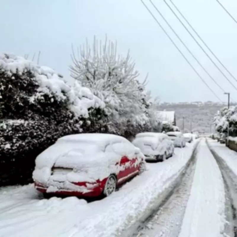
Snowfall Predictions and Accumulations
According to the Met Office, freezing levels will lower from the north, causing snow to fall above 300-400 metres in elevation. Areas such as Aberdeenshire, Angus, and Perthshire are likely to be hardest hit, with 5-10 cm of snow anticipated to accumulate by Wednesday evening. This could blanket communities and create challenging travel conditions.
The general forecast for the UK indicates that snow may begin in Scotland tonight, with other parts of the country potentially seeing wintry showers later in the week. From Thursday to Saturday, conditions are expected to remain unsettled, with further outbreaks of rain initially, followed by a colder turn from Friday. This could bring snow showers, particularly in northern regions, before a dry, cold, and sunny Saturday for many.
Long-Range Forecast: Continued Unsettled Weather
Looking ahead, the Met Office's long-range forecast suggests little respite from the wet weather. Between Saturday, February 14, and Monday, February 23, Atlantic frontal zones are predicted to return, bringing broadly unsettled conditions to many areas. This period may feature:
- Further spells of rain across the country
- Potential strong winds at times
- A milder trend for many due to westerly influences
- Occasional colder conditions affecting northern and north-eastern parts
Residents are advised to stay updated with the latest weather alerts and prepare for possible disruptions as this wintry spell unfolds.


