The Met Office has warned that the UK could experience 'intense showers and thunderstorms' later this week, as 'unsettled' conditions are set to hit the country. Northwestern England is likely to see cloud, rain, and blustery winds, while much warmer air originating from hot conditions across parts of western Europe is expected to spread across the UK in the coming days.
Warm Air and Rising Temperatures
Although the hottest weather is expected in the south of England, some warmer air could move into southeastern areas later in the week. This is likely to lead to a gradual increase in temperatures, particularly across England and Wales, where it will begin to feel increasingly warm and locally hot as the week progresses. In Greater Manchester and the surrounding northwest, conditions are expected to remain closer to average or slightly fresher.
Unsettled Conditions in the North and West
The Met Office explains that low pressure to the northwest of the UK is likely to cause 'unsettled conditions' in northern and western England. This lingering low pressure will continue to drive more unsettled conditions across these areas, bringing frequent cloud, outbreaks of rain, and at times blustery winds, particularly across Scotland, Northern Ireland, Wales, and parts of northwest England.

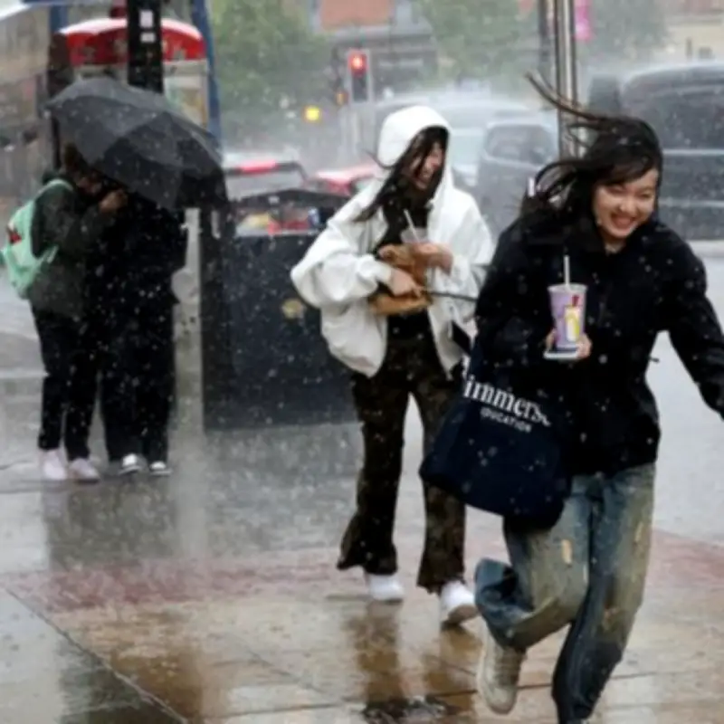
Rainfall and Weather Fronts
Rainfall will vary day-by-day, with heavier and more persistent spells moving through at times. For example, midweek rain is expected to push eastwards across southern and central parts, bringing locally heavy bursts before clearing. Later in the week, another weather front is likely to bring further rain, particularly to northern and western regions, as it shifts position across the UK. Despite this, rainfall totals overall are not especially high for most areas, though some locations could still see notable accumulations.
Potential for 30C Heat in the Southeast
Temperatures in southern and eastern parts of the country could reach as high as 30C at its peak, with highs reaching the high 20s 'fairly widely', the UK weather agency says. The forecast reads: "Friday could be the peak of the heat for parts of the southeast, with temperatures possibly reaching the low 30s Celsius. This would place temperatures well above average for the time of year in these areas, while the northwest remains noticeably cooler by comparison." Sunshine will be most prolonged across southeastern areas, although even here, some cloud and occasional rain may spread through at times, particularly midweek.
Increasing Chance of Thunderstorms
Later into the week, there is an 'increasing chance of more intense showers or thunderstorms'. Although the risk is low, the Met Office says it introduces 'some uncertainty' into the forecast. The Met Office states: "These heavier bursts of rain could bring short periods of disruption, especially if they coincide with the warmest part of the day."
Pollen Alerts Issued
Several red and amber 'very high' and 'high' pollen alerts have been issued by the Met Office, indicating that people who suffer from hayfever can expect their symptoms to be more severe.