
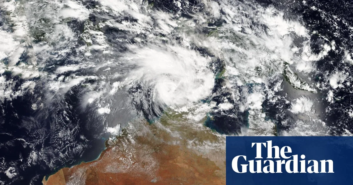
Tropical cyclone Fina has intensified to a category two storm, according to the Bureau of Meteorology, and could make landfall on the Northern Territory coast as early as Friday. If it does, it would equal the record for the earliest cyclone to make landfall in Australia since 1973.
The storm was located about 370km north-east of Darwin on Wednesday night, moving east before an expected turn south on Thursday. The bureau's latest track map indicates Darwin could be affected, with potential impact on Friday or Saturday.
Senior meteorologist Jonathan How said the earliest cyclone to make landfall in Australia was Ines, which crossed the Kimberley on 21 November 1973. The earliest to cross the NT coast was Alessia on 27 November 2013. 'Based on Fina's track map it could also cross the coast on the 21st, 22nd November, so that could equal the record for earliest landfall,' he said.
Professor Steve Turton, an adjunct professor at Central Queensland University, said climate change was intensifying tropical cyclones globally. Fewer cyclones were expected but they would be more severe, with a higher proportion of category four and five storms. Sea surface temperatures in the Timor Sea were above average and well above the 26.5C threshold needed for cyclones to form.
Fina is a small cyclone, which Turton noted could intensify rapidly but also weaken quickly. 'Because it's small, it's likely to spin up quicker. But it can also weaken quicker because of inertia. So these small cyclones can sometimes catch you unawares and suddenly they intensify very rapidly,' he said.




