The Met Office has issued Amber Extreme Heat Warnings covering Monday to Thursday, with temperatures forecast to climb as high as 38C in southern England this week. The warning comes as forecasters predict potentially record-breaking June temperatures alongside unusually high humidity levels.
Temperature Forecast and Record Potential
Temperatures are expected to reach 34C on Monday before climbing to 37C on Tuesday. The peak of the heatwave is forecast for Wednesday and Thursday, when some areas could see highs of 38C, potentially breaking the current UK June temperature record of 35.6C.
The combination of high temperatures and humidity will make conditions particularly oppressive. Forecasters say dew points could reach around 22C later this week, creating uncomfortable conditions both day and night. Overnight temperatures are also expected to remain above 20C in many urban areas, creating what meteorologists refer to as 'tropical nights'.

Rain Forecast and Timing
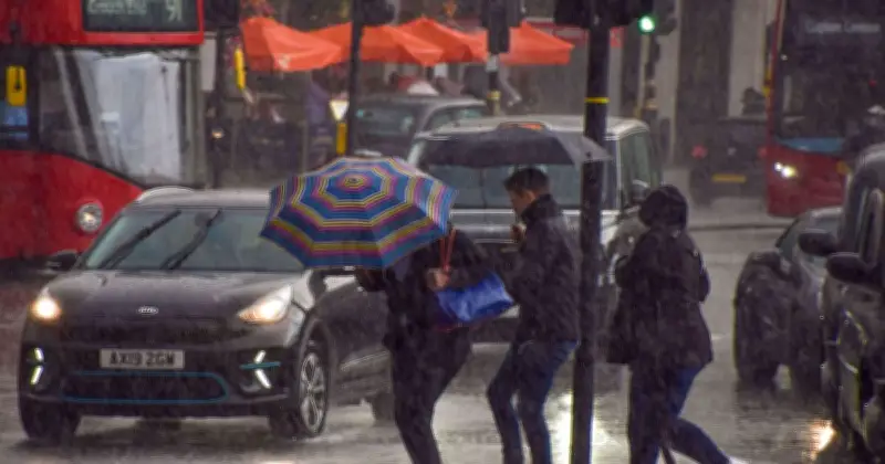
However, weather maps suggest a major pattern change could arrive shortly afterwards. WXCharts data, based on the ECMWF weather model, indicates a plume of heavy Atlantic rain moving towards the UK by the end of the week. By June 27, large areas of western Britain, including parts of Scotland, Northern Ireland and western England, could be seeing persistent rain.
The maps suggest the wet weather will continue into early July, with some areas potentially recording more than 120mm of rainfall, equivalent to almost five inches, over the coming fortnight. The heaviest totals appear concentrated across western Scotland and parts of north-west England, where bands of Atlantic weather are forecast to repeatedly move in from the ocean.
Impact and Warnings
Met Office deputy chief forecaster Tom Crabtree described the heatwave as a potentially severe weather event. He said: 'The forecast heatwave is developing into an impactful severe weather event, with record-breaking June temperatures and very high humidity.'
'The combination of heat and humidity will be oppressive and bring impacts across society from public health and infrastructure, to power and water supplies.'
The UK Health Security Agency has also issued heat health alerts, warning that the extreme conditions could affect not only vulnerable people but the wider population.
Potential Flooding Risk
While the rain is expected to provide some relief from the heat, forecasters caution that heavy downpours following prolonged hot and dry weather can sometimes increase the risk of surface water flooding.
If current forecasts prove accurate, Friday could mark the beginning of a gradual breakdown of the heatwave, with temperatures falling from their midweek peak and conditions becoming increasingly unsettled into the start of July.