
At least seven people have died as a result of a severe winter storm sweeping across the eastern two-thirds of the United States, bringing heavy snow, sleet, and dangerously cold temperatures. The storm has left more than one million customers without power in the south and caused the cancellation of over 10,000 flights.
The Louisiana Department of Health confirmed two deaths in Caddo Parish, where two men of unknown ages died of hypothermia. In New York City, Mayor Zohran Mamdani reported at least five deaths, saying, 'While we do not yet know their causes of death, there is no more powerful reminder of the dangers of the extreme cold.' He added that the storm is bringing colder temperatures than the city has experienced in eight years.
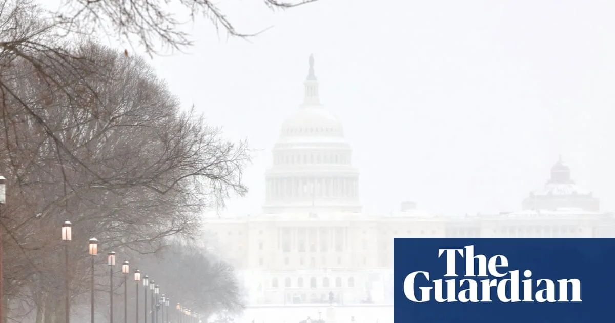
The National Weather Service warned of 'crippling to locally catastrophic impacts' from widespread heavy ice accumulation in the south-east, with up to 18 inches of snow expected over New England and half an inch of freezing rain in parts of the Mid-Atlantic and Ohio/Tennessee Valleys. In the storm's wake, bitterly cold temperatures and dangerous wind chills are forecast from the Southern Plains to the north-east.

President Donald Trump approved federal emergency disaster declarations for 12 states, including South Carolina, Virginia, Tennessee, Georgia, and others. Seventeen states and the District of Columbia declared weather emergencies. Homeland Security Secretary Kristi Noem urged people to 'stock up on fuel, stock up on food' as utility crews work to restore power.
As of Sunday morning, more than 900,000 customers were without electricity, with Tennessee, Mississippi, Louisiana, and Texas hardest hit. The Department of Energy issued emergency orders to authorise backup generation resources in Texas and the mid-Atlantic region to limit blackouts. More than 10,500 flights were cancelled on Sunday, with additional cancellations expected Monday.


