
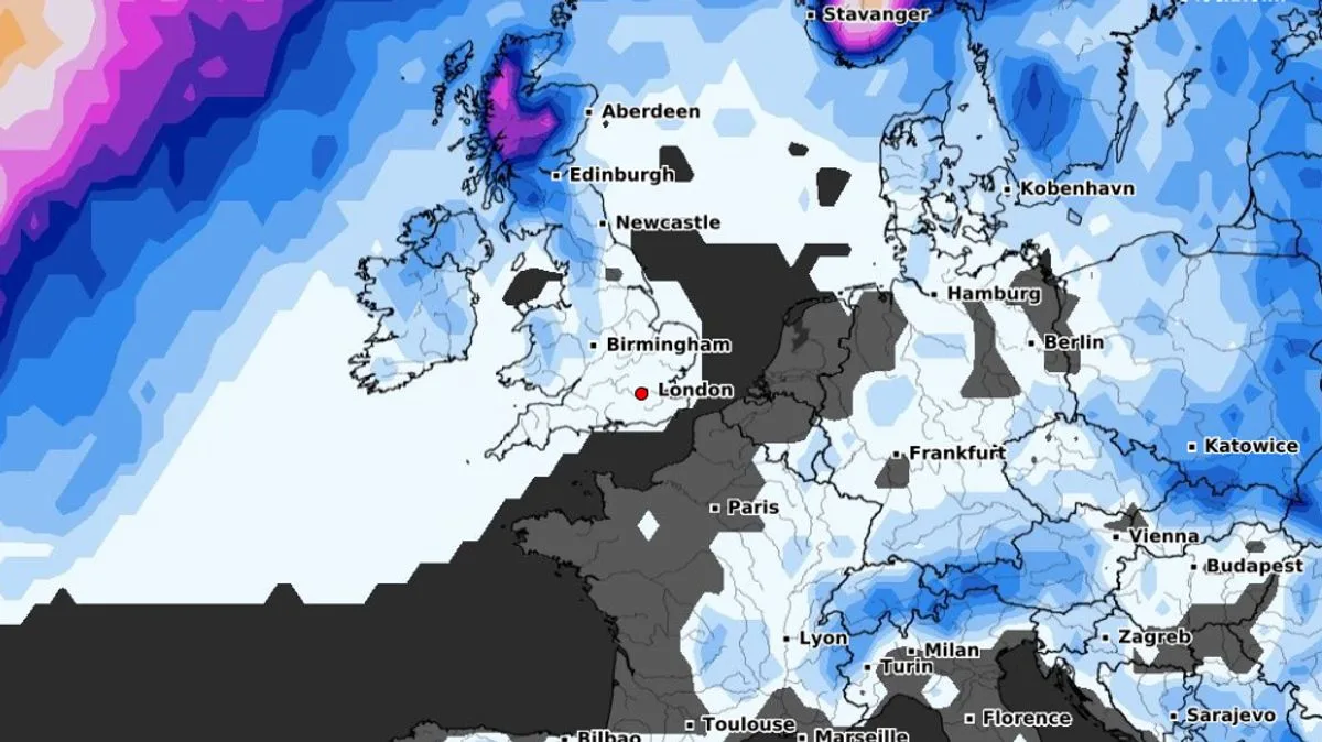
Advanced weather modelling maps from WXCharts indicate a significant probability of further snowfall across the UK later this month, following a week of widespread flurries and freezing temperatures. The data highlights January 20 and January 25 as key dates for potential snow, particularly in Scotland.
On January 20, there is a 40% to 50% chance of snow in Scotland, with a 20% to 25% likelihood in Northern Ireland and a 10% to 20% chance in northern England, Wales, and the south-west of England. By January 25, the probability rises to 50% to 55% in the Scottish Highlands, while Northern Ireland, Wales, and northern England face around a 20% risk.
The Met Office has warned of potential “ice and snow” towards the end of January and into early February. Its forecast for January 26 to February 9 states: “A dominant flow from the Atlantic looks likely to produce an unsettled, milder and windier than average period. However, the potential for brief cold northerly spells with associated frost, ice and snow remains.”
BBC Weather echoes this outlook for January 27 to February 10, noting that while mild conditions are expected overall, “cooler or colder snaps are possible behind intense low pressure systems that bring a temporary west to north-westerly flow.” The forecaster adds that the risk of sustained cold is low, but brief wintry episodes cannot be ruled out.




