
The Met Office has issued new yellow warnings for snow and ice across much of Scotland and northern England on Sunday, as the UK continues to deal with the aftermath of Storm Goretti. The warning for snow and ice will come into force at 2am on Sunday and is expected to last until 3pm, covering large parts of Scotland, the East and West Midlands, north-east and north-west England, and Yorkshire.
A separate yellow warning for ice will cover large parts of England and Wales from midday on Friday until midday on Saturday, as partially thawed snow refreezes, accompanied by wintry showers and freezing fog. In Northern Ireland, a yellow warning for snow and ice will be in effect from 5pm on Friday until 11am on Saturday, with icy patches and some hill snow expected.
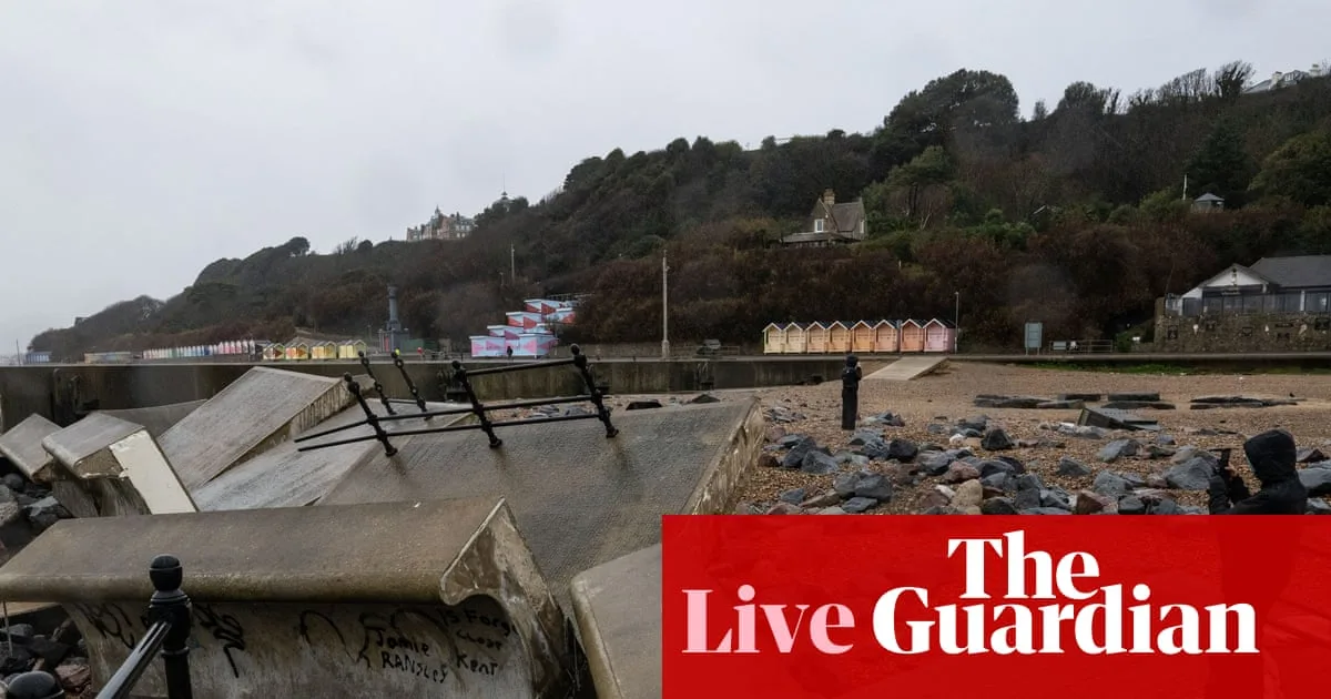
Storm Goretti has caused widespread disruption across the UK, with road, rail, and air travel severely affected. In Cornwall, RNLI volunteers battled hurricane-strength winds to rescue people from boats, describing conditions as the worst they had ever seen. The storm also caused significant damage, including tearing large chunks off the roof of the Cornish Pirates rugby club stadium in Penzance.

Power outages have affected thousands of properties, particularly in the south-west and west Midlands. National Grid reported that it had restored power to 169,380 properties by noon on Friday, with extra engineers brought in from other areas to assist. The government has been urged to convene a meeting of the emergency Cobra committee to coordinate the response, with Liberal Democrat MP Gideon Amos calling for swift help for the south-west.
In Scotland, several days of intense snowfall and sub-zero temperatures have led to school closures and travel disruption. First Minister John Swinney said efforts are now focused on recovery. Meanwhile, many local authorities in England and Wales have activated the Severe Weather Emergency Protocol (SWEP) to provide emergency accommodation for rough sleepers at risk of harm or death. The Mayor of London activated SWEP on Friday, the second time this year.
The Manchester Evening News reported that two people died while sleeping rough in Manchester during recent cold weather: Michael Heaton, 26, found dead on 30 December, and Anthony Horn, 47, discovered on 26 December. The deaths have highlighted the dangers faced by rough sleepers during severe weather.


